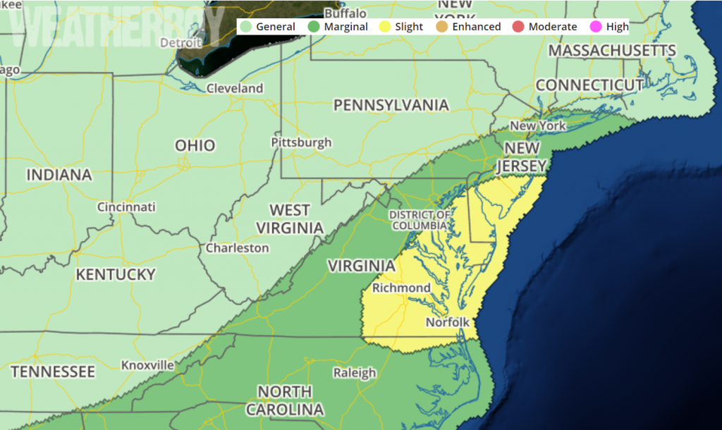
After a series of isolated storms brought flash floods, tornadoes, lightning-caused fires, and wind damage over the last 7 days in the Mid Atlantic, it appears another round of severe weather is expected on Monday. In the latest Convective Outlook issued by the National Weather Service’s Storm Prediction Center, they define an area in the Mid Atlantic that could be impacted by a severe weather outbreak Monday afternoon.

A broad mid/upper level trough will encompass much of the northeastern quadrant of the continental United States on Monday, with a mid-level jet streak expected to strengthen from the Ohio Valley northeastward into southern New England. At the surface, a cold front will migrate southward and extend from the north Texas vicinity eastward to the central Appalachians. This front will separate a relatively cool airmass to it’s north from very warm, humid, and unstable conditions across the southeast and Mid-Atlantic, with several areas of convection posing at least an isolated severe threat especially from midday onward.
A shortwave trough and weak surface low will approach the region from the west during the morning hours, fueling an increase in convection perhaps as early as mid-morning in the Appalachians. Meanwhile, strengthening low-level wind profiles will strengthen some throughout the day, advecting a very warm and moist low-level airmass northeastward along and south of a warm front. Computer forecast models that aid meteorologists with their forecasting are not very consistent with the northward progress of this warm front, although the general consensus is that storms will increase in intensity and coverage throughout the day within this moderately sheared, moderately unstable airmass. Damaging wind gusts and hail are the primary threats, although a tornado threat may also exist given low-level shear profiles across the region. The greatest threat of tornadic cells will exist around wherever the warm front sets up.
