While the National Hurricane Center is busy issuing update on Tropical Storm Isaias, the National Weather Service’s Storm Prediction Center is monitoring another threat: the risk of severe weather through portions of the Northeast and Mid Atlantic today.
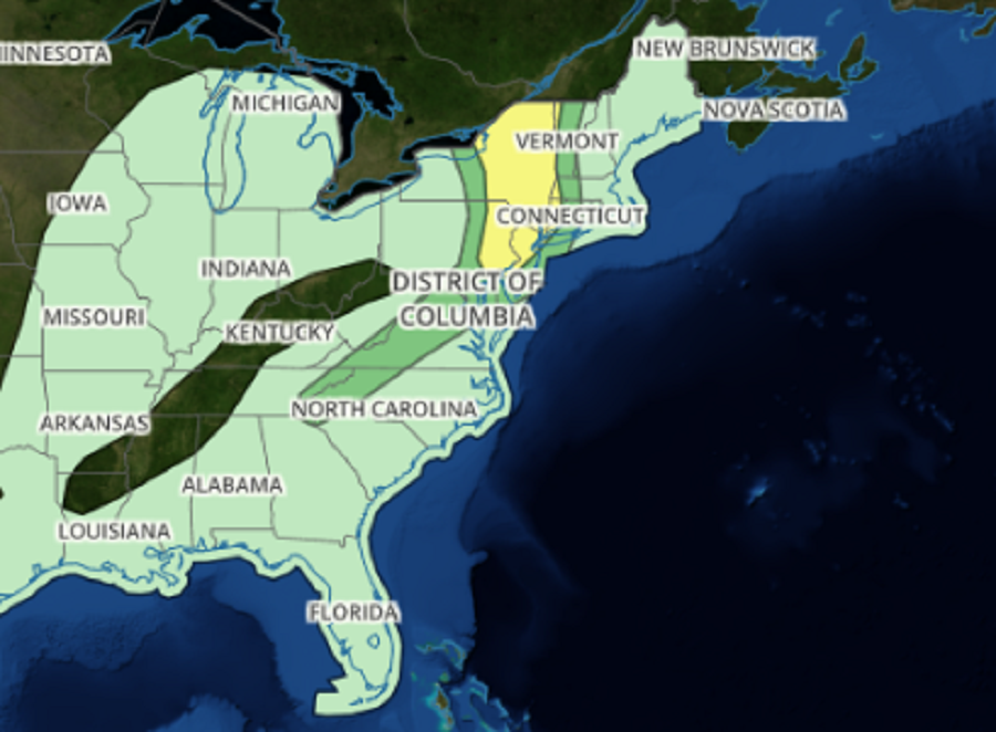
While the risk of severe weather extends from the spine of the Appalachian Mountains north and east to the New York City metro area and north up eastern Upstate New York, the greatest threat of severe weather today will exist over the eastern half of Pennsylvania, the northern 2/3 of New Jersey, the eastern half of New York State, and extreme eastern Massachusetts and Connecticut. This high risk area could see damaging winds, isolated tornadoes, and large hail.
According to the National Weather Service’s Storm Prediction Center, a weak mid-level disturbance will eject across the lower Great Lakes ahead of the main upper trough positioned farther west over the Mississippi Valley. This feature, not associated with Isaias, should encourage a weak surface low to track from southern Ontario into southwest Quebec by evening. At this time it appears the primary focus for sustained, organized deep convection and severe weather will be immediately ahead of the surface low. If the surface warm front were to be delayed advancing north into Quebec today, the Storm Prediction Center believes the low-level shear would be improved markedly across northern New York which would improve atmospheric support for supercells and tornadoes. Farther south, a belt of seasonally strong mid-level flow will extend from the base of the trough over the southern Appalachians into the northern Middle Atlantic. In this area, south of central Pennsylvania and New Jersey, the main threat will be gusty winds moreso than tornadoes.
The severe weather threat will diminish later today, with the focus on the region returning to the likely impacts of Isaias as it moves up the coast.
