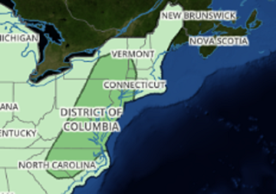
The atmospheric ingredients required to create an outbreak of severe weather appear to be coming together again over portions of the Mid Atlantic and Northeast for Wednesday. The greatest threat will be from North Carolina north into New York State, with portions of Maryland, Pennsylvania, and New Jersey in the potential bullseye for rough weather. In addition to severe storms, there could be another round of flash flooding in a region that has seen plenty.
Early Wednesday, a trough of low pressure will be located well west of the region extending from southern Ontario into the Ohio Valley with a deep layer south / southwest ahead of an upper level trough pumping in warm, humid air to the northeast. The day in places like Washington, DC, Philadelphia, PA, and New York City, NY will begin mainly dry but by afternoon expect building atmospheric instability. This instability should be enough to trigger scattered thunderstorms by the early to mid afternoon period well ahead of the approaching system from the west. This first round of storms likely won`t be too well organized as shear will still be fairly low but they could produce locally strong damaging winds and heavy rainfall. It will be a hot humid day with highs reaching the upper 80s to around 90 and dew points over 70 making it feel quite oppressive.
Along the I-95 corridor, there could be a brief lull in storms around the late afternoon/early evening period Wednesday before the second round moves in. This will occur as a developing frontal system approaches from the west associated with a medium amplitude, progressive upper level trough. Expect strong to severe storms to develop with this feature over central Pennsylvania and Maryland. Since the shear and forcing will be stronger later in the day, storms will be better organized and will take on a multi-cellular structure in the from of one or more line or line segments. Some of the worst storms could hit between 5pm and 1am. The primary threat will be in the form of damaging wind gusts; however, an isolated tornado cannot be ruled out. Storms that form can also drop very heavy rain over a short period of time; as such, isolated flash flood conditions will be possible at the same time too.
High pressure will build into the northeast early Thursday, drying conditions out.