• Skip to primary navigation
  • Skip to main content
  • Skip to primary sidebar

Weatherboy

Weatherboy Weather News, Maps, RADAR, Satellite, and Forecasts.

  • Local
  • Earth Science News
  • RADAR
  • Current Warnings
  • Satellite
  • Current Maps
  • Forecast Maps
  • Video

Significant Snowstorm to Dump 10+ Feet

by Weatherboy Team Meteorologist - September 25, 2020

A significant autumn snowstorm could bring more than 10 feet of snow to portions of Washington this weekend.


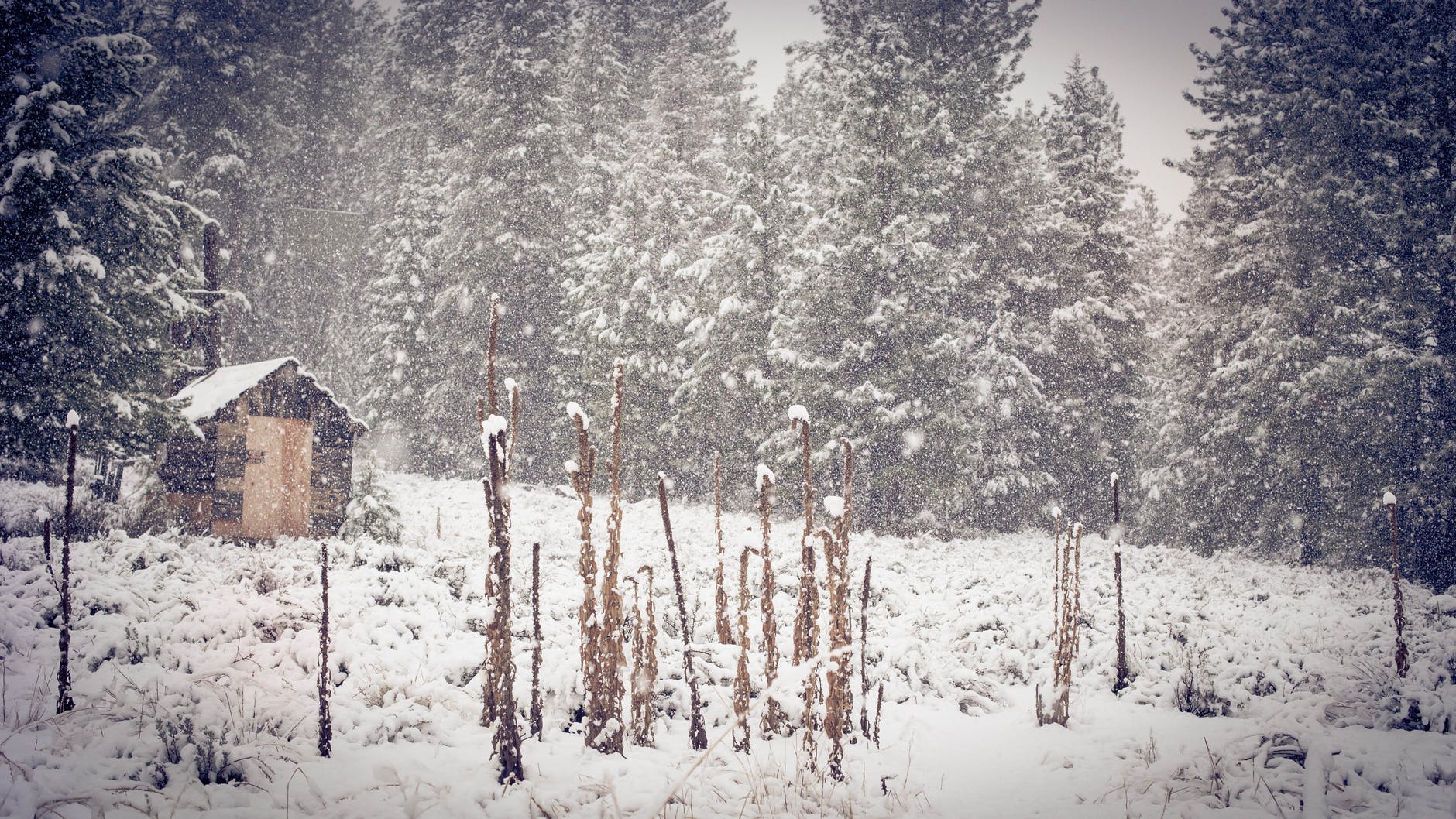
A significant snowstorm will continue to bury portions of the higher terrain of Washington State under heavy snow as the first full weekend of the Autumn of 2020 arrives. By the time the weekend wraps up, Mount Baker could see more than 10 feet of fresh snowfall.

Mount Baker, also known as Kulshan, stands at 10,781 feet tall in the North Cascades of Washington. Mount Baker is the second-most thermally active crater in the Cascade Range after Mount Saint Helens and is considered an active, glacier-covered andesitic stratovolcano within the Cascade Volcanic Arc.

A Puget Sound Convergence Zone  (PSCZ) has developed over portions of western Washington, setting the stage for significant precipitation rates today.  While precipitation will taper a bit into Saturday as a weak front moves through, a more significant round of precipitation could set-up on Saturday night and Sunday morning for a PSCZ event.


With this type of set-up and an abundant stream of moisture coming off of the Pacific Ocean, Mount Washington’s height will help create the perfect atmospheric snow machine. While rain rates at lower elevations could be as high as 1/2″ per hour, heavy snow could fall with many inches per hour over a prolonged period of time

In terms of snow, totals today are forecast to be around 2-3 feet, with another 1 foot possible tonight, and another foot possible tomorrow and tomorrow night …on top of more than 4 feet that already fell from this system since Wednesday.

Primary Sidebar

Sponsored Ad

Search

Latest News

  • Mid Atlantic Braces for Impacts from Ophelia: Tropical Storm Force Winds, Flooding Rains, Tornadoes, Life Threatening Storm Surge
  • North Carolina to New Jersey on Alert as Coastal Storm Takes Shape
  • Strong Geomagnetic Storm Blasts Earth, Triggers Aurora Across Central States, Mid Atlantic
  • National Hurricane Center Tracking 3 Atlantic, 1 Pacific Systems
  • Volcanic Eruption Ends in Hawaii; Gasses Spewing from Kilauea Greatly Reduced, Clearing Air
  • Post Tropical Cyclone Lee Pushes Through Nova Scotia
  • Watches and Warnings Expand as Hurricane Lee Forecast to Bring Storm Surge, Wind, Rain to Northeast
  • Hurricane and Tropical Storm Watches Issued in the Northeast for Lee
About | Careers | Contact | Contests
Terms | Privacy | Ad Choices
Weatherboy is a (R) Registered Trademark of isarithm LLC, All Rights Reserved.
All content herein is Copyright by Isarithm LLC 1997-2022