The weather pattern across the United States is evolving to one that better supports east coast winter storms; however, it now appears conditions won’t be completely ideal for a weekend snowstorm to materialize. While earlier forecasts showed a storm system forming along a front in the eastern US this weekend, new data shows that the system will be suppressed further south and east. By not being allowed to blossom into a robust winter storm near the Mid Atlantic and New England coast, significant snow is no longer expected in the northeast from this system.
On Friday, there will be considerable cloudiness in the northeast, with a period of light snow or flurries possible later in the day or at night at or near the I-95 corridor from Baltimore, MD to New York City, NY. The thermal profile of the atmosphere may only support a rain/snow mix for Delaware and southeastern New Jersey and points south along the coast. No significant accumulations are expected.
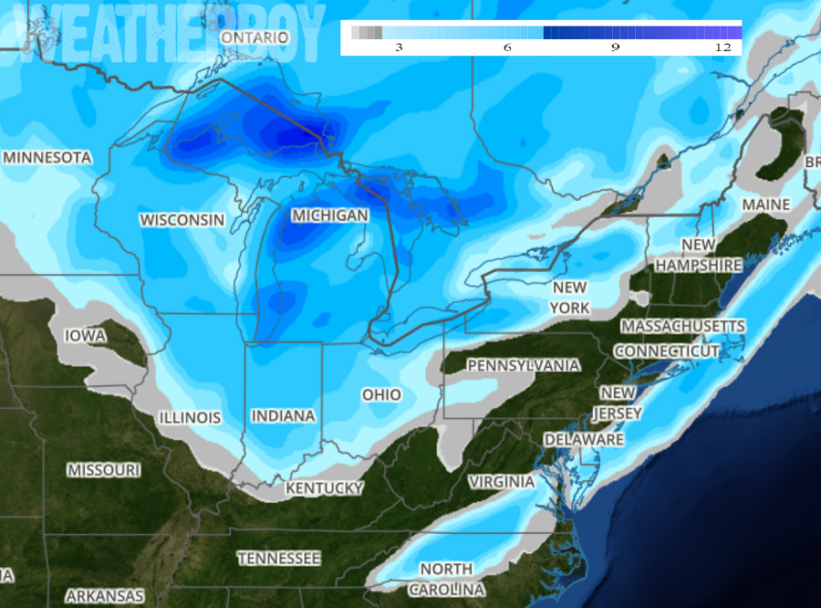
On Saturday, after morning flurries exit the region, fair skies will return as colder air arrives on north winds and northwest winds. Later at night into early Sunday, a period of snow or snow shower activity will blossom. Based on current projections, it appears this snow activity will exist over extreme southeastern Connecticut, eastern Long Island, southeastern Massachusetts, Rhode Island, southern New Jersey, southern Delaware, southeastern Maryland, south central Virginia, and central North Carolina. At this time, it appears 1-4″ of snow could fall before wrapping up by Monday.
On Monday, fair weather will return. Other than snow showers swinging through New England from Canada and lake effect snows down-wind from the Great Lakes, no other snow activity should pop-up early in the week with storm activity suppressed just off-shore.
