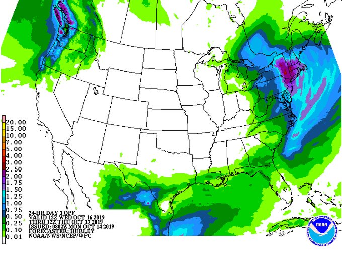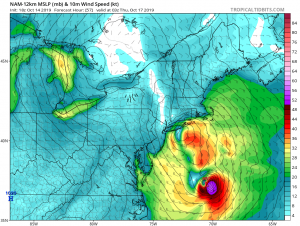
Two weather systems will approach on Wednesday: one is a low pressure tracking out of the Great Lakes and the other a wave of moisture coming out of the Gulf States. These two systems will phase into a powerful storm that will impact the northeastern United States on Wednesday and Wednesday night, bringing soaking rains and gusty winds to the region.
The storm coming together is due to a dynamic, impressive setup at mid and upper levels of the atmosphere; computer forecast guidance has also been quite bullish for several days for the outlook of this storm. It appears the northern stream frontal system over the Great Lakes should eventually be absorbed by the developing low along the wave of moisture coming up from the south. The specific storm track and the timing of the storms phasing will be key to who gets how much rain. For now, it appears there will be 2″ or more of rain from New Jersey north into central New England. While rain will fall heavy at times on Wednesday and Wednesday evening, the storm is a quick mover; by Thursday morning, conditions will be drying out as high pressure returns.

In addition to a lot of rain, there will be a lot of wind too. Unlike the coastal flooding event that unfolded just days ago with Subtropical Storm Melissa, this quick-moving storm won’t linger around long enough to create major coastal flooding across a large area. However, it will cause beach erosion and dangerous rip currents and some minor to moderate coastal flooding could be possible in isolated locations. Gusty winds will also blow well inland. With heavy rain and gusty winds, there will be the chance of power outages as tree branches or limbs fall on wires or the wires themselves fall or fail.