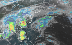
More soaking rains are headed east tonight into tomorrow, setting the state for potential flooding. A surface low pressure system will track along a stationary front through the Mid-Atlantic region later tonight and Sunday. As the low moves to the east on Sunday, the front will push to the south. As the front pushes south, high pressure will arrive on Monday, helping dry-out portions of the Mid Atlantic and the Northeast in time for Monday.

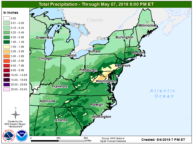
Some showers and thunderstorms in the Mid Atlantic tonight will transition into a widespread rain overnight through much of Sunday. Some of the rain will become heavy at times, prompting the National Weather Service to issued Flash Flood Watches for a large part of the Mid Atlantic. Total rainfall amounts by late Sunday are expected to be at least 1-2″ around New York City, New Jersey, and Philadelphia, with upwards of 2-3″ possible around Washington, DC and Baltimore. This will result in rises on rivers and streams with the potential for urban and small stream flooding. Flash flooding will also be possible where very heavy rain falls in a short period of time.
A Flash Flood Watch means that there is the potential for flash flooding which can be life-threatening. Heavy rain is expected to occur over a short period of time. Rapidly rising flood waters may quickly inundate roadways and areas of poor drainage. Streams and creeks could leave their banks, flooding nearby properties. The National Weather Service urges people that live in an area prone to flooding to be prepared to take swift action if a flash flood warning is issued for their community.