A slow moving storm on the northeast coast will bring wind-whipped rain to main locations; inland where there’s colder air, snow will fall, especially at higher elevations.
Low pressure continues to strengthen on the East Coast; it is currently located near the Virginia coast and is slowly moving north. Bands of moderate to heavy rain continue to move into the Mid Atlantic from the south and southeast with the heaviest rain thus far over southeastern Pennsylvania. While rain builds, east-south-east winds will strengthen too. The rain will continue to fall moderate to heavy at times this evening with the heaviest forecast to fall over eastern Pennsylvania and portions of the DelMarVa peninsula. With storm totals approaching 2.5″, flooding remains a concern around the I-95 corridor and north and west into the Poconos. Coastal flooding is also a threat as east winds build surf at the shore.
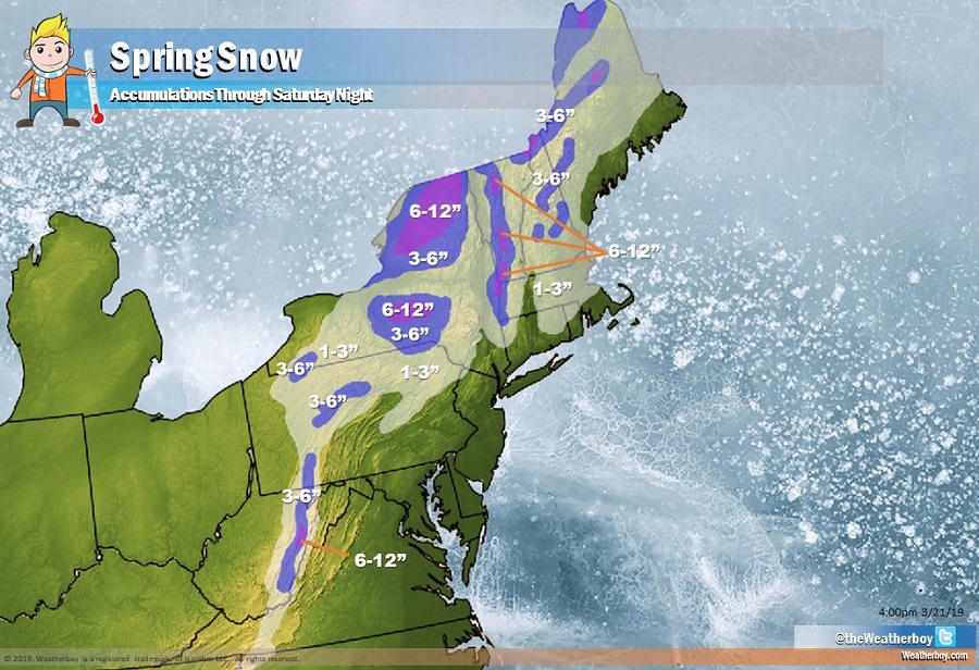
Tonight, the heaviest of the rain will begin to wind down as the center of low pressure cuts right the New York City metro area. In New York and locations south, some lighter rain and wrap-around showers will continue overnight. As cooler air wraps in on the backside of the low, rain is forecast to change over to snow over the southern Poconos and extreme northwestern New Jersey where a couple inches could accumulate. The low will continue to deepen through Friday as it moves northeast through New England. With moisture working with colder air there, more snow is expected, especially in the higher elevations of upstate New York, Vermont, New Hampshire, and Maine.
Winds will continue to increase throughout the northeast as the storm move slowly north and east. Showers will taper off in Pennsylvania and New Jersey and points south later Friday, but will persist across northern New England on Saturday. On Friday night, a secondary cold front will push through the northeast. In New England, this could trigger a round of snow squalls, especially in western locations at higher elevations. South, in Pennsylvania and New Jersey, this front could trigger a surge of stronger winds gusting as high as 45mph.
Precipitation will wrap-up from southwest to northeast in New England on Saturday; however, gusty winds will persist throughout the northeast throughout the day.
High pressure is forecast to move into the northeast Saturday night into Sunday. This will help dry conditions out while also working to relax gusty winds. Sunday should be fair and dry across the northeast with seasonable temperatures.
