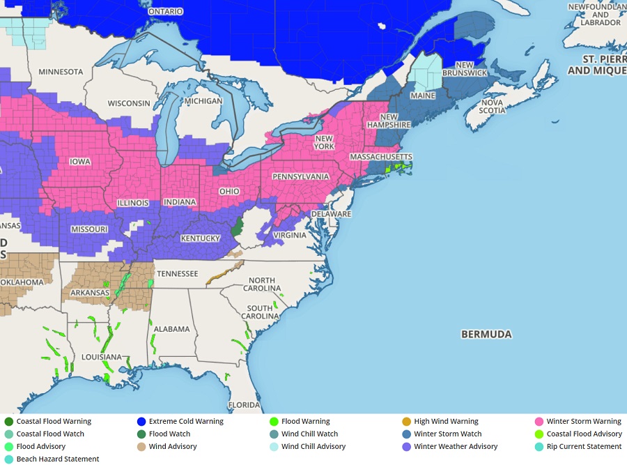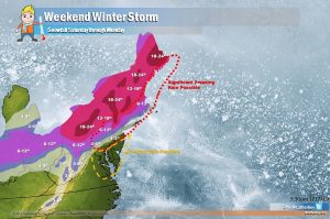
A major winter storm will impact the northeast this weekend, bringing heavy snow on the northern side, heavy rain on the southern side, and an icy mix in between. With severe winter weather expected, the National Weather Service has issued numerous Winter Storm Warnings and Winter Weather Advisories. In Pennsyvlania, Governor Tom Wolf declared a State of Emergency, urging people in the Keystone State to not travel during the inclement weather. In New Jersey, Governor Phil Murphy also announced that the entire Garden State will be under a State of Emergency beginning at noon on Saturday. An expansive area of low pressure will approach the Northeast from the west on Saturday and pass through the New York City metro area overnight Saturday night and early Sunday morning bringing the first significant winter storm to the region. Strong Arctic high pressure will build quickly into the Mid-Atlantic through the early part of next week as another area of low pressure moves in from the Great Lakes region late Tuesday into Wednesday, setting the stage for yet another winter storm during the middle of next week.
Heavy snow will fall later Saturday into Sunday over central New York State and interior New England. Here, snow could fall at rates greater than 2″/hour, dumping more than a foot of snow before the storm exits.

Warm air will be surging north from this storm, turning any snow or sleet falling in Philadelphia, central New Jersey, and the New York City metro area to plain rain late Saturday night. The same will happen early Sunday morning across much of Connecticut, Rhode Island, and southeastern Massachusetts. While rain will fall, some sub-freezing air will be stubborn to leave, leading to an icing situation. Freezing rain could accumulate more than 0.10″ in northeastern Pennsylvania, far northwest New Jersey, southern upstate New York, northern Connecticut, and southern Massachusetts. Some freezing rain is also possible in northern Rhode Island. Combined with gusty winds over 25mph, the stress and weight of wind and ice could force wires to snap, leaving many without power for a prolonged period of time.
Along and south of the I-95 corridor, the precipitation type will mainly be rain. The rain will be heavy at times, especially over southeastern Pennsylvania, central and southern New Jersey, Long Island, and coastal Connecticut and Rhode Island. In this heavy rain area, more than 2″ of rain could fall, creating localized flooding conditions.
As cold air wraps around the storm as it exits on Sunday, some precipitation could briefly change to freezing rain, sleet, or snow on the back side of the system. With much less moisture to work with, any back-side snow or ice should be on the light side. With temperatures falling Sunday and staying low Monday, any untreated wet surfaces will freeze.