It appears the Thanksgiving holiday weekend will end with a round of snow in portions of the northeast; while a blockbuster heavy snowfall isn’t expected, snow could make travel conditions somewhat tricky on one of the busiest travel days of the year as people return from wherever they were for the holiday.
A weak surface low is forecast to track across the northeast on Sunday; a secondary low is forecast to develop and move across Maryland, Delaware and southern New Jersey on Sunday afternoon, with the National Weather Service suggesting that the whole system will regroup off of southeastern New England late Sunday night into early Monday.
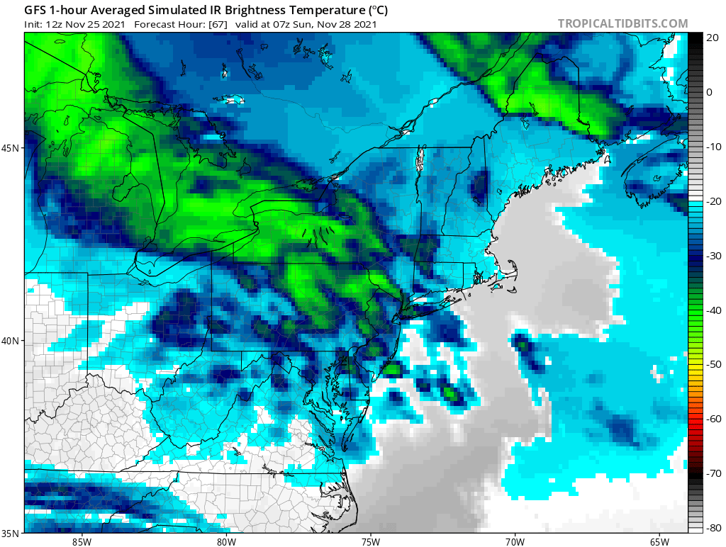
Prior to regrouping off the coast, the initial disturbance should bring light snow to a region stretching from northeastern Wisconsin and Michigan down into Pennsylvania, New York, and the northern half of New Jersey. As the system organizes off the New England coast and brings a little more moisture into the system, some light rain or a light wintry mix is possible on the southern side of the system in portions of Pennsylvania and New Jersey before the system exits on Monday.
Snowfall will generally be light, with 1-3″ amounts expected. Down-wind of Lake Erie and Ontario, though, lake effect enhanced snowfall is possible, helping push possible totals there up into the 3-6″ or more range. While a dusting of snow is possible in New York City and an inch or two could fall in Boston, no accumulation is expected in Philadelphia and points south.
As cold advection begins again on Sunday night, some lingering snow showers are possible north and west of the I-95 corridor. Any remaining rain showers could change to light snow showers on the southern side of the snow, but no additional accumulations are expected there.
