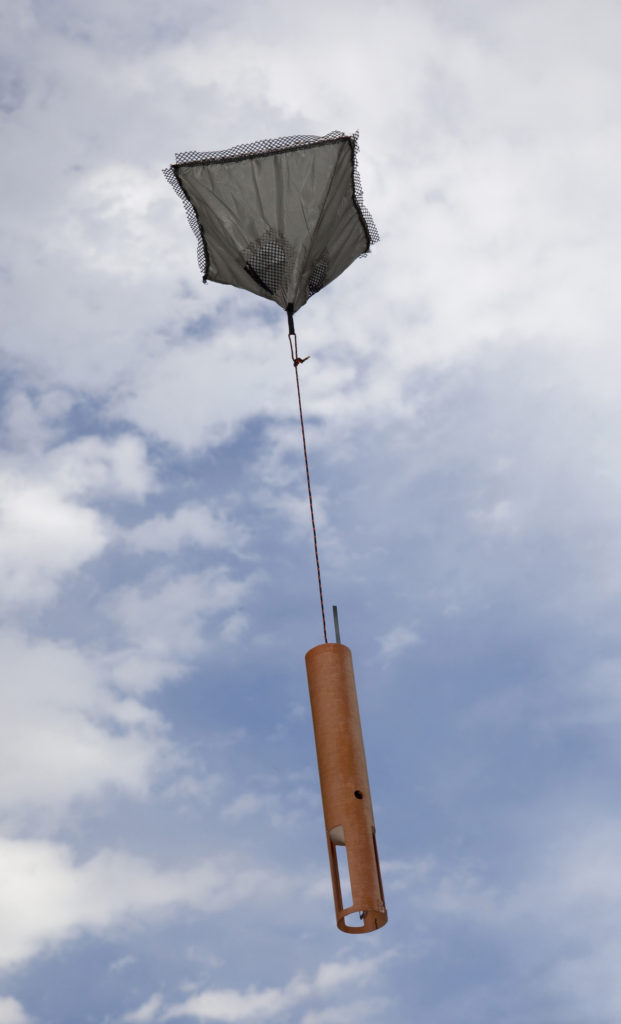
 What goes up must come down. Sure we have all heard that phrase before and know the basic science behind its meaning. In Meteorology we also care about what goes up and what comes down, especially if it is sending back important weather data that can be used to improve the forecast. The big difference is that what is going up and coming down could be completely different things, even though they produce the same end result.
You often hear about weather balloons being release and providing a valuable look at the upper atmosphere not only across the U.S. but also around the globe. These are done at set locations at the same time worldwide. What if you wanted a more detailed look over a set area at different times? Balloons being launched may not be the best option so instead Meteorologists drop weather sensors at certain areas. Instead of sending back weather data on the way up they do just the opposite. Temperature, pressure, wind speed/direction, and humidity are measured and recorded as this sensor drops out of an airplane and falls through the atmosphere. They are called dropsondes and are often released from Hurricane Hunter planes that investigate all types of storms (they are not always tropical).
So what does this additional data provide? In addition to data recorded by the instruments on the plane, these sensors provide a detailed look of the entire atmosphere in and around the storm. Is it strengthening or weakening, where is the exact center of the storm, what type of air is around the storm? All of this information can be analyzed and even entered into a super computer to create detailed and accurate (hopefully) forecasts on a timely basis. On average these planes can stay up for over 12 hours allowing for a large amount of data to be collected during each flight. It may seem dangerous but the information they collect and analyze is very valuable especially as a storm threatens land.