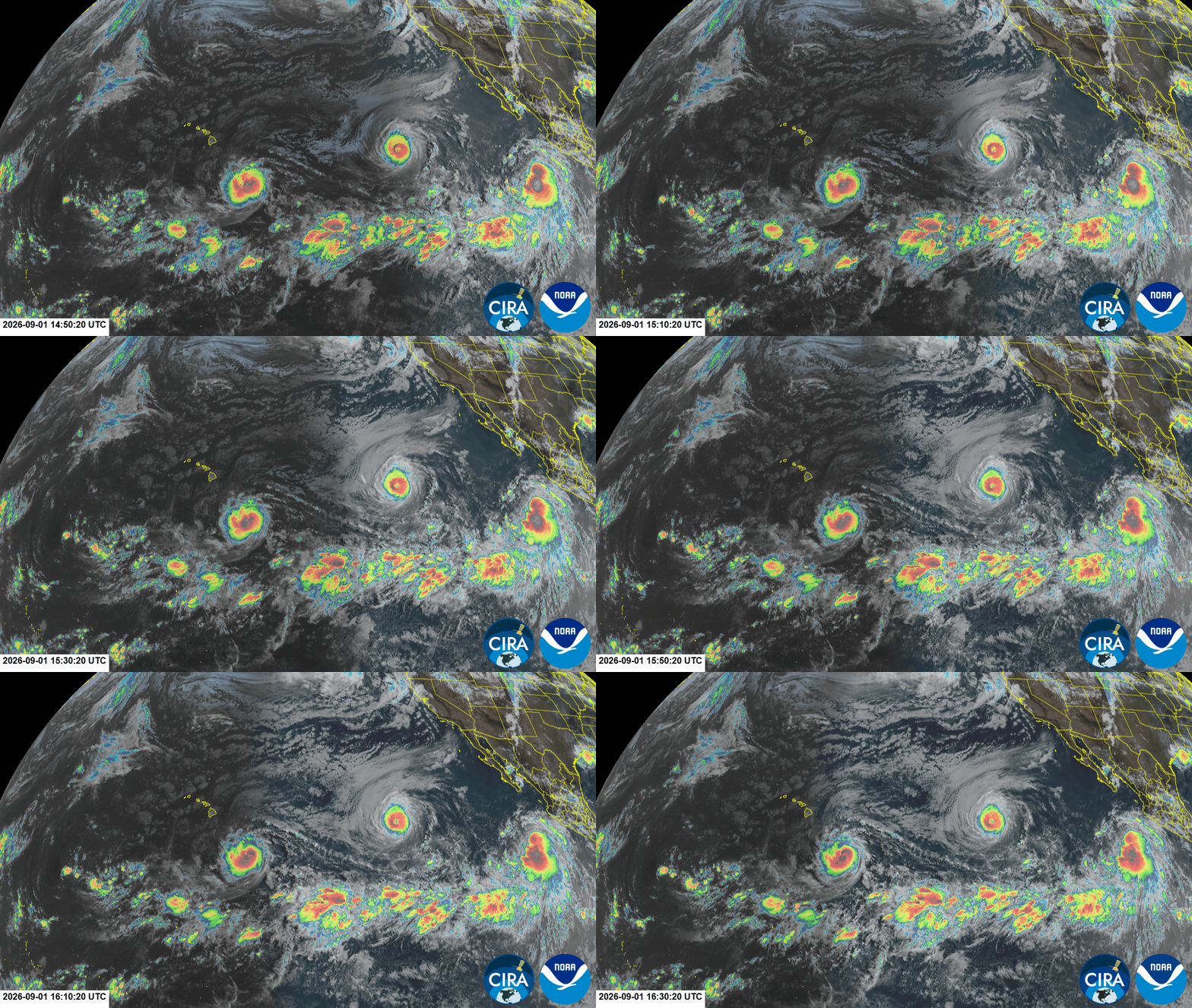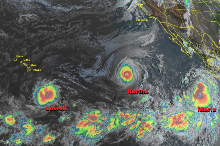
The Central Pacific Hurricane Center and the National Hurricane Center (NHC) are closely monitoring three named storms in the Pacific which are forecast to dance around Hawaii in the coming days. One big question remains: will any of them actually hit the Aloha State? Their names are Lowell, Karina, and Marie and a complex atmospheric steering environment could push them along in unusual ways and at times in response to the other.
Lowell, now a hurricane, is the closest to Hawaii. Located about 575 miles southeast of Hilo on the Big Island of Hawaii, the storm has maximum sustained winds of 80 mph and minimum central pressure down to 985 mb or 29.90″.
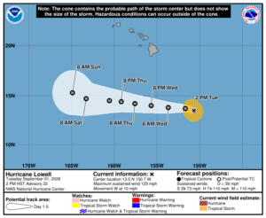
Lowell is moving toward the west-northwest near 12 mph for now and a west to west-northwest motion is expected to continue during the next several days.
Maximum sustained winds have increased to near 80 mph with higher gusts. The NHC says that rapid strengthening is forecast during the next day or two, and Lowell is expected to become a major hurricane with winds greater than 110 mph by Wednesday night.
Karina is the strongest of the bunch, now classified as a major Category 4 hurricane on the Saffir-Simpson wind scale. This storm is located half way between Hawaii and Mexico, roughly 1,280 miles west-southwest of the southern tip of Baja California. Maximum sustained winds are up to 140 mph while minimum central pressure is down to 945 mb or 27.91″.
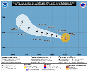
According to the NHC, the center of Hurricane Karina was located near latitude 18.1 North, longitude 129.0 West and it was moving toward the west near 12 mph; a westward to west-northwestward motion is expected during the next few days. While a fierce hurricane now, some gradual weakening is expected during the next several days.
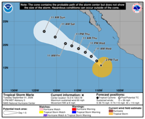
The third system, Marie, is the weakest of the three but probably not for long. It is forecast to become a hurricane soon.
According to the latest advisory from the NHC, Marie is located about 400 miles southwest of Manzanillo, Mexico. With maximum sustained winds of 45 mph the minimum central pressure is down to 1002 mb or 29.59″. Marie is moving toward the northwest near 9 mph and the NHC expects it to make a turn toward the west-northwest on Thursday. Gradual strengthening is forecast, and Marie is expected to become a hurricane by Wednesday night. It could also become a major hurricane beyond that.
For now, the only threat to Hawaii these storms pose is rough surf and swells generated by the distant storms. Swells generated by Lowell are likely to affect portions of the Hawaiian Islands beginning on Wednesday. These swells are likely to cause life-threatening surf and rip current conditions.
Beyond that, uncertainty remains in the extended forecast. It doesn’t appear Lowell will impact the Big Island of Hawaii or Maui at all. Some forecast guidance suggests it will make a sharp turn to the north as it passes west of Hawaii Island, which could bring the storm dangerously close to Oahu or Kauai, with greater odds over Kauai. If that happens, it’s possible Karina could move closer into the islands, especially if Maria behind it keeps it chugging along to the west towards Hawaii.
It is also possible Karina will help bring Lowell closer to Hawaii and then deflect it, sending both away from the islands. But if that happens, Maria could come into Hawaii as the others move away from it.
For now, officials are encouraging people to keep a watchful eye and be prepared. The Hawaii County Civil Defense agency pushed out a message to the people of the Big Island. It read, “Although it is too early to forecast with confidence what if any effects Lowell will have on the state, it is always better to take the time to prepare for possible bad weather. As we continue through what has been forecast to be a more active hurricane season, residents and businesses are encouraged to review and develop preparedness plans. ”