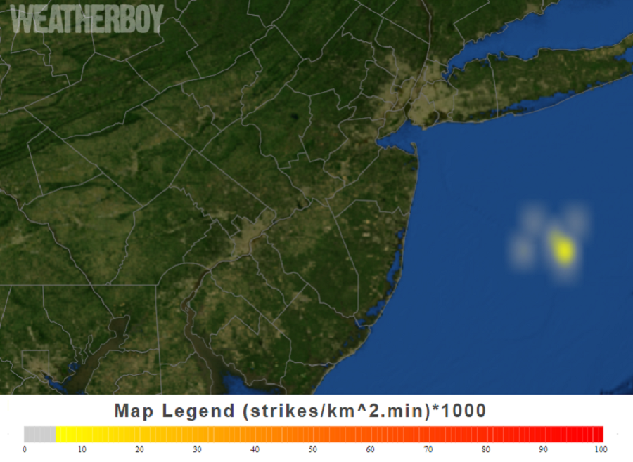
A cluster of thunderstorms continues to build just off the central Jersey Shore; this band of heavy precipitation could wrap around into portions of eastern New Jersey, the New York City, and Long Island areas as the day continues. With cold air continuing to move to the coast, this means thundersnow storms are possible.
While not common, thunderstorm do form during the winter months and can be just as dangerous as their spring and summertime versions. Within a thundersnow storm cell, climbing air will rise several miles up. As friction occurs within rising air particles, triboelectrification occurs. As ice crystals collide into each other within a thundersnow storm cell, they gain or lose electrons. When ice crystals lose electrons, they become positively charged. Wetter precipitation gains electrons, making them negatively charged. When a significant enough difference of charges exists, an electrical spark jumps from one region to another to balance out the charge. This spark is known as lightning.
The dynamics of thundersnow storms are a bit different than typical non-winter thunderstorms. In the winter, they are indicative of areas of intense snowfall rates. Snow in these areas could fall at rates well over an inch an hour or more, creating hazards above and beyond lightning alone.
Nevertheless, lightning is always dangerous regardless of the time of year it forms. A strike can be deadly. This is why the National Weather Service warns with the catchphrase, “when lightning roars, head indoors.” If thunder is close enough to be heard, lightning is close enough to kill. This is especially true in thundersnow storms: snow acts as a muffler disturbing the sound thunder makes. This means lightning strikes could be nearby but the thunder caused by them may not be heard as easily as it is in a summertime storm.