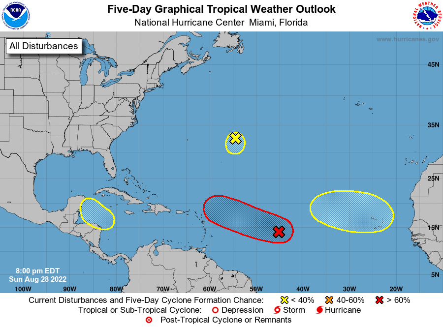
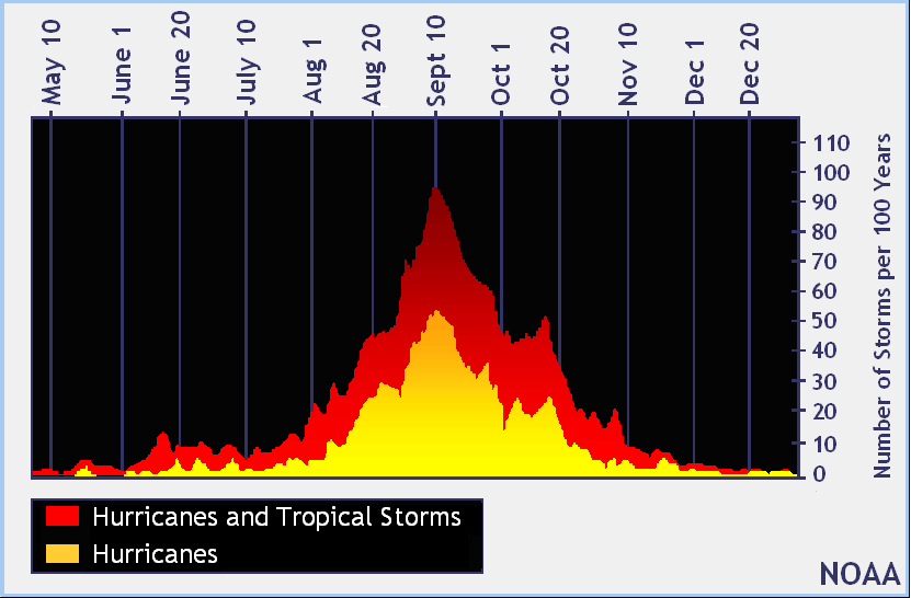
The National Hurricane Center in Miami, Florida has released a new Tropical Outlook that reflects the Atlantic Hurricane basin with increased activity and areas of concern; among the four areas being observed, one is likely to become a tropical cyclone this week. This tropical cyclone could develop into a Tropical Storm or Hurricane and could threaten land over time. The peak of the Atlantic Hurricane Season is also approaching; typically, September 10 is considered the peak of most of the season’s activity.
The area of greatest concern is over the Central tropical Atlantic. A broad area of low pressure there now is producing a large area of disorganized cloudiness and showers. According to the National Hurricane Center (NHC), although environmental conditions ahead of the system do not appear conducive for significant development, a tropical depression, at the very least, is likely to form later this week while the disturbance moves slowly toward the west and then west-northwest at 5 to 10 mph, toward the waters east and northeast of the Leeward Islands. Right now, the NHC believes there’s a 50-50 chance of tropical cyclone formation here over the next 48 hours, but those odds increase to a high 70% over the next five days.
Some extended range computer models suggest this system could strengthen beyond the next five days, possibly becoming the season’s next named tropical storm or hurricane over time. Any storm that does develop in this part of the Atlantic with this type of weather pattern could eventually impact islands in the Caribbean or even the U.S.. While it is too soon to know whether or not those models are accurate and too soon to know for sure how strong this system will develop and where it’ll go, people around the Atlantic Hurricane Basin should monitor it in the coming days and weeks.
A second area of concern being monitored by the NHC is a small low pressure system located about 600 miles east of Bermuda. For now, this area continues to produce limited shower activity. According to the NHC, strong upper-level winds and dry air are expected to limit significant development of this system while it drifts southward over the central Atlantic during the next couple of days, and the low is likely to dissipate by midweek. For now, the NHC believes there’s only a 10% chance this system will become a tropical cyclone over the next 5 days.
The third area of concern being monitored for potential development is over the northwestern Caribbean Sea. A trough of low pressure could develop over the northwestern Caribbean Sea during the middle part of this week. According to the NHC, environmental conditions could support some slow development of the system thereafter while it moves generally west-northwestward over the northwestern Caribbean Sea and toward the Yucatan Peninsula of Mexico. Any development will be slow: the NHC says it is unlikely development will occur over the next 48 hours and only a low 20% chance over the next five days.
The fourth area of concern is over the eastern Tropical Atlantic, where a tropical wave is forecast to move off the west coast of Africa sometime Monday night. The NHC says that some gradual development of the system is possible after that time while it moves generally westward across the far eastern tropical Atlantic. Any development here would also take time; there’s only a 20% chance that formation will occur here at anytime over the next 5 days.
The 2022 Atlantic Hurricane Season runs through to the end of November.
