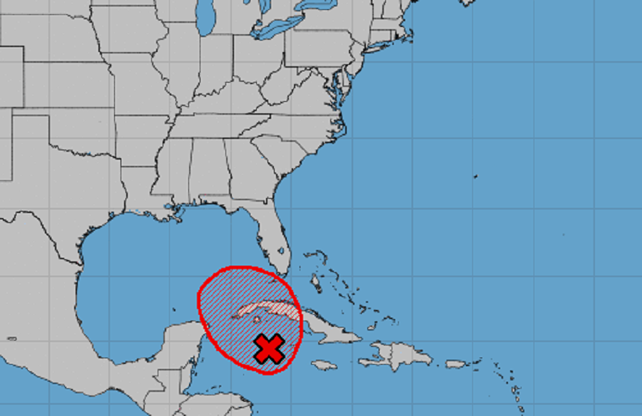
In the latest Tropical Outlook update from the National Hurricane Center (NHC), the NHC reports that it is now likely that a tropical cyclone will form soon in an area south of Florida in the coming days.
According to the NHC, satellite images and radar data indicate that the broad area of low pressure located just west of Grand Cayman Island is gradually becoming better defined. With environmental conditions conducive for further development, the NHC says it is likely that a tropical depression will form here over the next day or two as it drifts towards the northwest. The NHC says there is a 70% chance that a tropical cyclone will form here within the next 48 hours.
Based on the the National Hurricane’s forecast, this developing system is expected to move near western Cuba by Sunday and move slowly across the southeastern Gulf of Mexico by early next week. The NHC says that interests in western Cuba, the Florida Keys, and southern Florida should monitor the progress of this disturbance.
Even if a tropical cyclone doesn’t form, locally heavy rainfall will be possible over portions of the Cayman Islands, Jamaica, Cuba, southern Florida, the Florida Keys, and the northwestern Bahamas through the weekend.

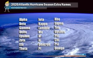
Should the system grow into a named tropical storm, it would be called Zeta. Zeta, the sixth letter of the Greek alphabet, was only used once before to label a tropical storm that formed in December of 2005. The 2020 Atlantic Hurricane season has been extremely busy, running out of names to use weeks ago. Now, letters of the Greek alphabet are being used to label tropical storms and hurricanes in the Atlantic hurricane basin. There has never been a season where a name beyond Zeta in the Greek alphabet was used; that could change this year. The 2020 Atlantic Hurricane Season doesn’t end until the end of November, although storms have been known to form in the off-season in December before.