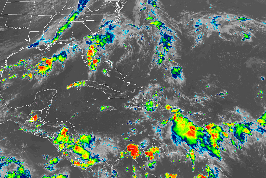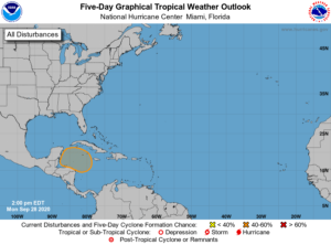
Meteorologists are keeping a watchful eye on an area of disturbed weather moving through the Caribbean sea; with time, it could become the active season’s next tropical cyclone.
According to the National Hurricane Center, a broad area of low pressure is expected to form over the western Caribbean Sea in a few days. Environmental conditions are expected to be conducive for some gradual development thereafter, and a tropical depression could form late this week or this weekend while the system moves slowly west-northwestward over the northwestern Caribbean Sea. Such development will take time to come to fruition; the National Hurricane Center doesn’t believe the system has a chance of becoming a tropical cyclone within the next 48 hours, but puts odds at “moderate” that one will form over the next 5 days, putting a 40% chance at the possibility.

Computer forecast guidance is providing mixed results with what could happen with this system. Some models and some runs of those models have suggested that a tropical cyclone will take shape, with some even suggesting that a tropical storm could form from it in the Gulf of Mexico over time. Other runs and other models suggest the opposite, showing a frontal system sweeping the system away from the Gulf of Mexico over time too. It is just too soon to say where this system could go if it does become a tropical depression as the National Hurricane Center suggests it could.
Should this system become a tropical storm, it would be given the name “Gamma”, the third letter of the Greek alphabet. Due to the incredibly busy season, the list of traditional names has been exhausted, forcing the National Hurricane Center to rely on Greek letters to name storms. Alpha and Beta have already formed and gone, leaving Gamma next in line.