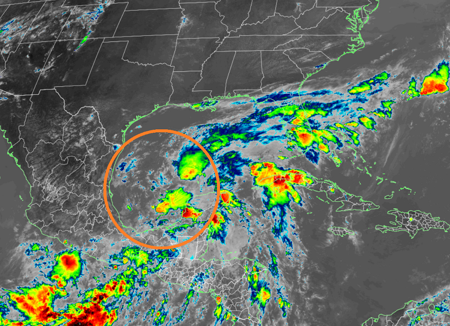
A new tropical cyclone is forming in the Gulf of Mexico and it is forecast to produce heavy, flooding rains over portions of the U.S. Gulf Coast in the coming days.
For now, disorganized showers and thunderstorms continue over the Bay of Campeche and southern Mexico in association with a broad low pressure area. This system will move little today and tonight, and little if any development is expected during that time due to interaction with land.
However, according to the National Hurricane Center (NHC) in Miami, Florida, the system should begin to move northward on Thursday over open water and a tropical depression is likely to form by late Thursday or on Friday when the low moves across the western Gulf of Mexico.

The NHC says an Air Force Reserve Unit reconnaissance aircraft is scheduled to investigate the area on Thursday. This aircraft will take measurements of not only the storm, but the environment around it to understand its ability to change strength and direction.
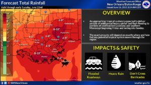
Even if the system doesn’t blossom into a tropical cyclone and become a tropical depression or even a tropical storm, heavy rainfall will continue over portions of Central America and southern Mexico during the next few days. Heavy rains will also begin to affect portions of the northern Gulf Coast on Friday. More than 8-10″ of rain could fall over portions of Louisiana and Mississippi over time, creating flooding issues there.
If the system becomes a tropical storm, it would be named Claudette.