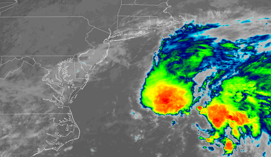
A new tropical cyclone is forming east of the Jersey Shore; fortunately for residents of the Mid Atlantic still cleaning up from recent hurricanes and their remnants, it appears likely this system will stay off shore. However, rough surf, rip currents, and beach erosion are all possible due to the position of the system along much of the Mid Atlantic and Northeast coast.
According to the National Hurricane Center (NHC) and their latest Tropical Outlook, recent satellite images indicate that a new and better-defined center of circulation has developed in association with a low pressure area located about 250 miles east of the Mid Atlantic Coast. It appears shower and thunderstorm activity is becoming more organized near this new center. According to the NHC, if these development trends continue, a tropical depression or tropical storm is likely to form later today or tonight while the low moves toward the northeast or east-northeast at 10 to 15 mph. As long as the system continues this trajectory, it will move away from the United States Mid-Atlantic and Northeast coasts.
Should the storm become a named tropical cyclone, it would be called Odette. Right now, the NHC says there’s an 80% chance that this system will develop into a tropical cyclone within the next 48 hours or less.
After passing off the northeast coast, the low is expected to transform into a non-tropical gale-force low Saturday or Saturday night south of Atlantic Canada, and it is likely to bring strong winds and heavy rains to portions of Newfoundland by Sunday and Sunday night. Newfoundland was hit by Hurricane Larry last week and two impacts by a tropical cyclone within the same month, let alone same season, would be quite rare.