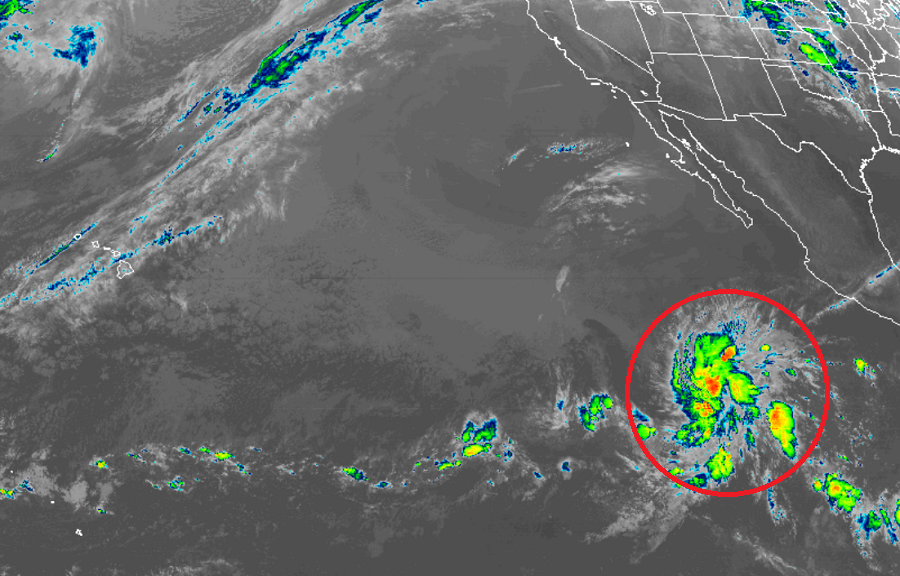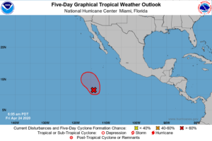
It appears a record is about to be broken in the eastern Pacific Ocean for earliest tropical cyclone formation. According to the National Hurricane Center, there is now an 80% chance that a disturbance there will become a tropical cyclone will form in the next 48 hours.
As the latest GOES-West weather satellite imagery illustrates, shower and thunderstorm activity continues to become better organized in association with a broad area of low pressure located about 800 miles south-southwest of the southern tip of the Baja California Peninsula. According to the National Hurricane Center (NHC), environmental conditions are favorable for additional gradual development, and a tropical depression is likely to form in the next day or two as the system moves slowly northwestward. According to the NHC, by late this weekend, conditions will become less conducive for development.

The National Hurricane Center in Miami, Florida, responsible for tracking and forecasting tropical cyclone activity in both the Atlantic and eastern Pacific basins, plans to issue a Special Tropical Weather Outlook by 2pm PT today, although they caution any additional organization or intensification of the system could warrant an earlier update.
According to National Hurricane Center scientist Eric Blake yesterday, this disturbance is “highly anomalous and this would be over two weeks earlier than any tropical cyclone on record in that basin”; records for the basin are as old as the satellite era which began in 1966.
The Eastern Pacific Hurricane Season runs from May 15 to November 30 while the Central Pacific Hurricane Season, which includes Hawaii, and the Atlantic Hurricane Season, which includes the U.S. Gulf and East Coasts, begin on June 1; they too run through November 30.