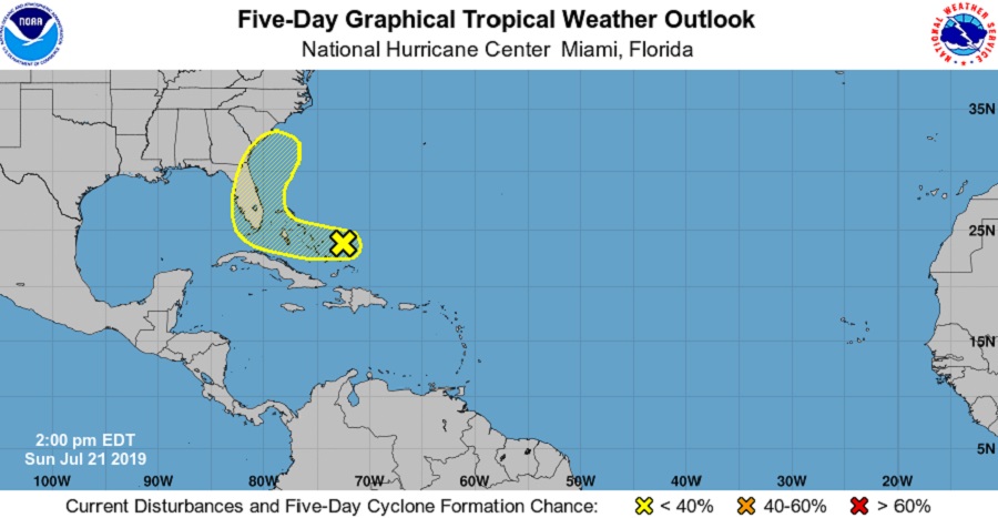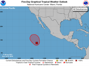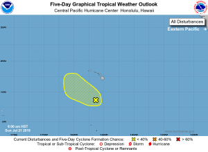
Overall, the basins that support tropical storm and hurricane development around the United States are relatively quiet; however, there are a few areas of disturbed weather that the National Hurricane Center and Central Pacific Hurricane Center are tracking for possible development. They include an area near the Bahamas in the Atlantic, an area well south and west of California in the eastern Pacific, and an area well south of Hawaii in the central Pacific.
The closest potential area of concern is well east of Florida. A weak area of low pressure just to the east of the Central Bahamas is producing disorganized showers and a few thunderstorms. According to the National Hurricane Center in Florida, some slight development is possible over the next few days while the disturbance moves westward to west-northwestward at around 15 mph. However, such odds are low at this time; according to the National Hurricane Center, there’s only a 10% chance that something will develop over the next 48 hours and only a 20% chance that something will form here over the next 5 days.

An area well south and west of California is likely to become a tropical cyclone over the next 48 hours. Image: NHC[/caption]
One area likely to see tropical cyclone development, though, is over the eastern Pacific. Showers and thunderstorms have increased a little today in association with a broad area of low pressure located several hundred miles south-southwest of the southern tip of the Baja California peninsula. According to the National Hurricane Center, this system appears to lack a well-defined center for now but conditions are favorable for a tropical depression or a tropical storm to form during the next day or so as it moves generally northwestward at around 10 mph, remaining well offshore the coast of Mexico. The National Hurricane Center believes there’s a 90% chance that a tropical cyclone will form here over the next 48 hours.

Lastly, an area of low pressure is located several hundred miles south of the Big Island of Hawaii is being tracked. According to meteorologists at the Honolulu-based office of the Central Pacific Hurricane Center, environmental conditions are forecast to remain marginally conducive for development through the day today as it moves northwestward at 10 to 15 mph. Beyond today, conditions will become even less conducive for development. The Central Pacific Hurricane Center believes there’s only a 10% chance a tropical cyclone will form here over the next 5 days. The disturbance is forecast to stay enough south to not impact the Aloha State directly with any rain or wind.