Tropical Storm Chris continues to spin about off the U.S. east coast; it is forecast by the National Hurricane Center (NHC) to intensify to hurricane strength within the next 36 hours. The latest satellite images indicate that the cloud pattern continues to become better organized. Data from an Air Force reconnaissance plane which reported flight-level winds of 51 kt on the eastern semicircle. Chris is expected to be over a pool of warm water for the next 2 days and embedded within an environment of low shear. On this basis, the NHC forecast continues to call for Chris to become a hurricane in about 36 hours. In about 4 days, Chris will be over 55 degree Canadian waters and this should encourage extratropical transition and weakening.
The steering currents around Chris have collapsed, and the cyclone has barely moved all day. These currents are forecast to remain light, so little motion is anticipated during the next 2 days. A mid-level trough forecast to swing eastward across the eastern United States will provide enough forcing to kick Chris northeastward with increasing forward speed over the Atlantic beyond 72 hours. The NHC forecast
continues to be in the middle of the track guidance envelope and follows closely the corrected consensus.
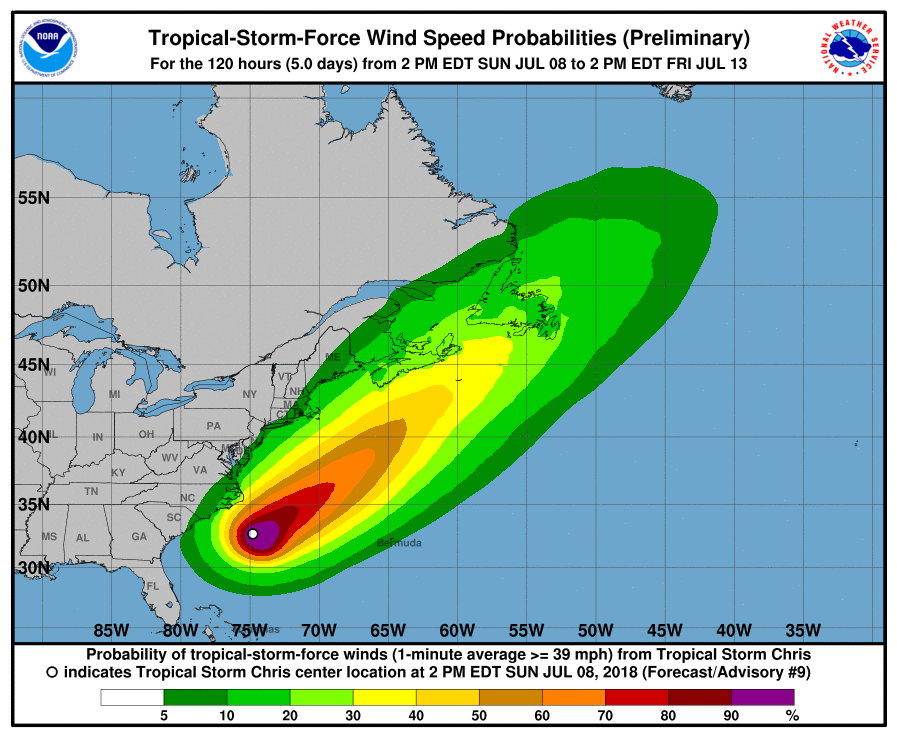
On this forecast track, Chris should not directly impact the U.S. East Coast. However, rough surf, high waves, rip currents, beach erosion, and localized coastal flooding are possible as the storm eventually moves north and east. Even experienced swimmers and surfers should avoid these very rough seas. Boaters should monitor the National Weather Service and Coast Guard for alerts.
People up and down the entire East Coast and Gulf Coast should make sure they have a Hurricane Action Plan. The 2018 Atlantic Hurricane Season runs through to the end of November. Even if Chris isn’t a direct threat, other storms this season could be.
