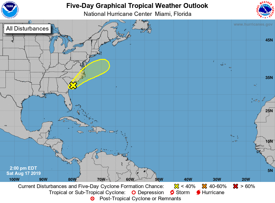
The National Hurricane Center is monitoring an area of disturbed weather along the southeast coast for possible development. It is very unlikely that a tropical storm or hurricane would from from this system, but it still bears watching because it will produce heavy rain.
A surface trough is producing a band of cloudiness and showers extending from the northeast Gulf of Mexico northeastward across the coasts of Georgia, South Carolina, and North Carolina. The shower activity is currently most concentrated near a small area of low pressure located along the trough near the South Carolina coast. Tropical development of this system, if any, is likely to be slow as the disturbance moves northeastward along the eastern coast of the United States with increasing forward speed during the few days. Regardless of development, the disturbance is forecast to produce heavy rainfall along with a threat of flash flooding in that region. For now, the National Hurricane Center believes there’s less than a 10% chance that a tropical cyclone will form here over the next 5 days.
Elsewhere in the Atlantic, things are quiet. No other tropical cyclone development is likely over the next 5 days.
Hurricane Season runs through the end of November.
