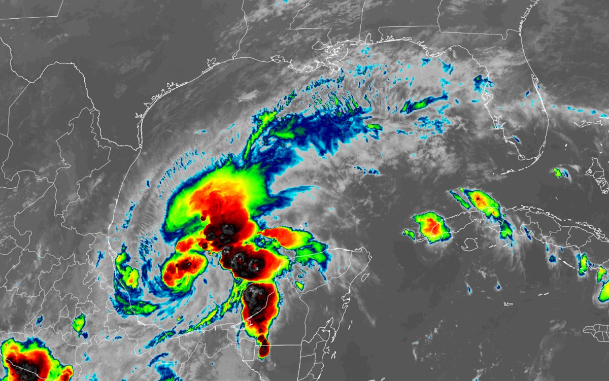
Tropical Storm Karl is getting stronger in the Gulf of Mexico; fortunately, the new storm is of no threat to areas hit hard by Hurricane Ian across Florida. Unfortunately, portions of Mexico with building codes not as strict as Florida’s could be in the path of this developing tropical cyclone.
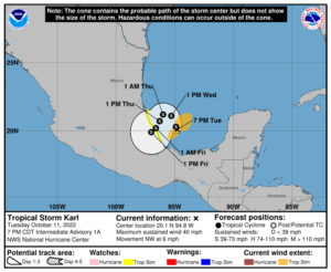
As of the latest update from the National Hurricane Center, Karl was located about 110 miles east-northeast of Veracruz, Mexico and about 180 miles east-southeast of Tuxpan, Mexico. Maximum sustained winds are up to 40 mph while minimum central pressure is down to 1006 mb or 29.71″. Karl is currently moving to the northwest at 6 mph.
For now, a Tropical Storm Watch is in effect for the Mexican coastline along the Gulf of Mexico from Cabo Rojo to Puerto Veracruz. A Tropical Storm Watch means that tropical storm conditions are possible within the watch area, generally within 48 hours.

Karl is expected by the National Hurricane Center (NHC) to continue moving northwest for the next 24 hours or so; a gradual turn to the west and west-southwest is then expected late Wednesday with a turn to the southwest expected on Thursday morning. On this track, Karl would approach the coast of Mexico on Thursday. As it moves closer to Mexico, the NHC expects gradual strengthening before landfall, followed by gradual weakening on Thursday after it hits land.
While Karl is not forecast to become a hurricane prior to landfall, it will still bring severe conditions to the Gulf coast of Mexico. Heavy rain of 3-6″ is possible, with isolated amounts of up to 10″. Such rain could create significant flooding problems. Gusty winds, large swells, and rough surf will also impact beaches and nearby communities. These swells are likely to cause life-threatening surf and rip current conditions; even the most skilled surfer or swimmer should avoid entering the Gulf until the storm passes.