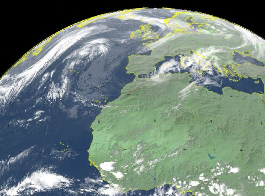
Tropical Storm Wanda could visit Ireland and northern portions of the United Kingdom in the early part of the upcoming week, albeit in a weaker form than it is now. Nevertheless, wind-whipped heavy rains are forecast to blow through Ireland and the northern United Kingdom Tuesday into Wednesday before clearing.
As of the latest update from the Miami, Florida, US-based National Hurricane Center, the center of Tropical Storm Wanda was located near latitude 37.0 North, longitude 38.2 West. This puts Wanda roughly 615 miles due west of the Azores. Wanda is moving toward the south near 6 mph for now, but a turn toward the northeast is expected later today, and a continued northeastward motion at a faster forward speed is expected tonight through Monday.

Maximum sustained winds are near 50 mph with higher gusts; however, slight strengthening is expected during the next 24 hours. After
that, Wanda is expected to merge with a frontal system, becoming an extratropical low Sunday night or Monday. As an extratropical low, what’s left of Wanda is forecast to impact Ireland and northern portions of the United Kingdom.
Met Éireann, the meteorological agency for Ireland, is calling for impacts late Tuesday into early Wednesday. “Spells of rain” are forecast to be followed by “hazy sunny spells” by the Irish weather service, suggesting that the heaviest rain will be across the southern half of the country Tuesday night. Heavy rain is expected to clear from the southeast on Wednesday morning as Wanda’s remnants make their way to the United Kingdom, where more wind and rain is likely there.
