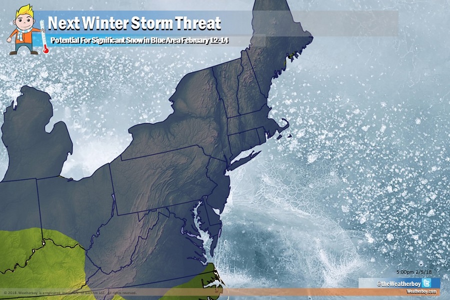
Most of the I-95 corridor between Baltimore and Boston has seen little snow this winter; that could change in a week when an area of low pressure could threaten the I-95 corridor from Virginia north with accumulating snow. The potential for significant snow of three inches or more, along with a chance for eight inches or more in some areas, is possible with the right mix of cold air and moisture coming together.
The American GFS and European ECMWF global computer forecast models which many meteorologists use to aid in their forecasting suggests a few different scenarios which would bring measurable snow to areas stretching from Virginia north to Maine. There is yet to be much in the way of model-to-model and run-to-run consistency with the model output, but some consistent general signals and general climatology suggests such a wintry event could unfold.
It is too soon to say with certainty how this system will unfold and who will get exactly how much snow or rain. The best chance for an event to unfold is around February 12-13, give or take a day. In the current pattern, it is unlikely that a major winter storm will occur in this area prior to those dates. It is also too soon to tell what the pattern could look like after this mid-February storm system moves through.
