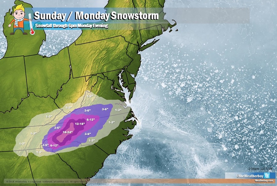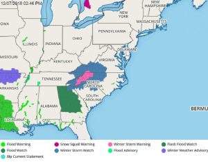
The National Weather Service has issued more Winter Storm Warnings and Watches ahead of what could be a crippling, historic snowstorm for portions of the Carolinas. Low pressure will track from the southwest U.S. to the Gulf Coast states through Saturday while cold high pressure builds across the Ohio Valley and Mid-Atlantic. This low will then move
off the southeast coast Sunday into Monday. With the colder air in place, a prolonged period of mostly snow is expected, starting as early as Saturday night, and lasting into Monday. Some mix of sleet may occur across southeast sections as well. Based on the forecast track, the heaviest snow is expected to occur across western North Carolina and into south-central Virginia.

The National Weather Service is upgrading Watches to Warnings now; it is likely additional watches and warnings will be issued throughout the day today and tomorrow as the storm approaches. The advisories are issued in sync with when the heaviest precipitation is expected. In most places, the heaviest will fall during the PM hours on Sunday and AM hours on Monday.
By late Monday, the storm will wrap up, bringing an end to precipitation from west to east. The next storm forecast to impact the eastern United States will be next weekend. But with a moderating thermal profile, it’s likely most precipitation from that event will fall as rain, even north into New England.