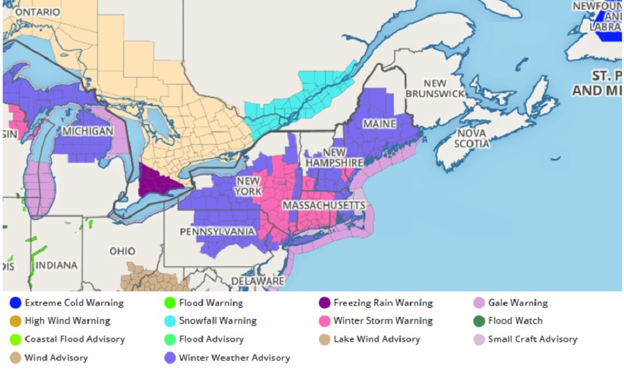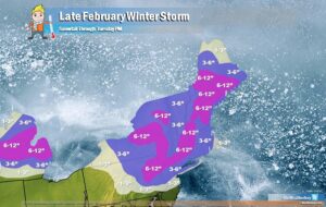
Winter Storm Warnings remain up from northern New Jersey to Maine as a winter storm takes up temporary residence in the Northeast, with upwards of 6-12″ of snow forecast for many.
While interior New England will see the most snow, it’ll be a miss for the I-95 cities, especially those south of New York City. From New York City and north to Boston, a few inches of snow are possible. But for south of New York, including Philadelphia, Baltimore, and Washington DC, rain will be the dominant precipitation type as milder air moves in on the south side of the system.

Cold air is forecast to remain locked in place across this region as a secondary low pressure system forms off the Mid-Atlantic coastline early Tuesday and slides eastward. Snowfall totals are generally expected to add up to around 4-8″ throughout New England and the Interior Northeast. Higher amounts are possible across the more highly elevated mountainous regions. Otherwise, New York City will be on the southern edge of the heaviest snowfall and could mix with sleet at times, limiting snowfall amounts to the 2-6″ range, but still likely the biggest snowstorm of the season.
Due to the wintry hazards, the National Weather Service has issued Winter Storm Warnings and Winter Weather Advisories from central Pennsylvania and northern New Jersey north into much of New England.