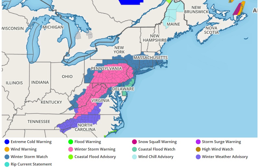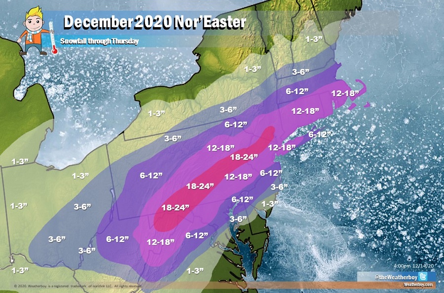
The National Weather Service is in the process of upgrading Winter Storm Watches to Winter Storm Warnings in portions of the eastern United States ahead of a potent nor’easter expected to dump as much as two feet of snow in portions of Pennsylvania. Elsewhere, the National Weather Service is also issuing Winter Weather Advisories or keeping Winter Storm Watches in-place.

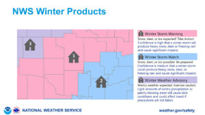
Winter Storm Warnings are issued when there is high confidence of high-impact storm or if conditions from a high-impact storm are occurring now. Every area has different criteria for when a Winter Storm Warning is issued; in the south where limited snowfall accumulations can create big travel problems, the threshold for reaching Warning status is much lower than the northeast where road crews are better equipped to handle bigger snows. Winter Storm Warnings can also be issued for icy accumulations that make travel hazardous. A Winter Storm Watch is issued when significant amounts of snow, sleet, or ice are possible for an area. As the event nears or confidence improves in the forecast, a Winter Storm Watch could be upgraded to a Warning. A Winter Weather Advisory is issued when wintry weather conditions are imminent or are occuring, but not at the significant level that would prompt a Winter Storm Warning from being issued.

The Winter Storm Warnings are being raised in areas where the National Weather Service expects the most snow to fall. More than a foot and a half of snow is likely across portions of Pennsylvania and New Jersey before the storm exits the region on Thursday.
Winter Storm Warnings are also being issued for southwestern Virginia for the likelihood of a heavy mix accumulation. There, significant amounts of sleet and freezing rain are expected to mix in with snow at times, creating a potentially treacherous slick situation. While snow totals there won’t be close to the ones expected in Pennsylvania, the National Weather Service has issued the warning to alert people there of the impending icy danger.