Fresh snow has dusted the higher elevations of Hawaii’s Big Island with a many more inches on the way, prompting the National Weather Service in Honolulu to issue Winter Weather Advisories due to a Kona Low impacting the Aloha State this week.
The Kona Low gets its name from the change in wind direction that occurs when such a storm moves over the Hawaii Islands. Hawaii is dominated by the trade winds that typically blow in from the northeast. However, the counter-clockwise flow around a Kona low located west of Hawaii results in southwesterly winds over the islands, which is typically the leeward or “Kona” side. Kona Lows are most common between October and April. These type of storms draw abundant moisture up from the warm tropical waters that surround Hawaii; when this moist flow interacts with the steep topography of the island which helps to wring-out moisture, extremely heavy precipitation can fall. Because the wind flow around a Kona Low is atypical, flooding rains occur in places that may not ordinarily flood in tropical downpours that impact the islands from time to time.
The heaviest precipitation from this Kona Low should spread across Hawaii later tonight into Thursday, with much of it in the form of rain. Rain, potentially heavy enough to create flooding problems, is possible around the state with severe thunderstorms and gusty winds possible too. But on higher elevations where temperatures are colder, precipitation will fall in the form of snow.
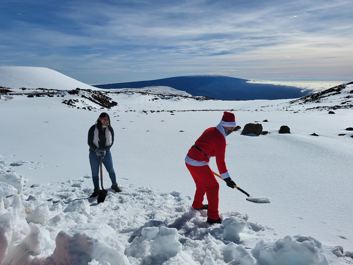
While most people don’t associate the tropical paradise Hawaii is known for with snow, they’re surprised to learn that it does snow in the winter due to the elevation of these volcanic peaks. Mauna Kea is the highest of the bunch at 13,803 feet. Maui’s Haleakala is much lower at 10,023 feet. Because of that difference, Hawaii Island will see snow more frequently than the lower Maui Island. Just one storm in January 2020 dropped 2-3 feet of snow on Hawaii Island and created snow drifts that were far deeper. Another storm in January 2021 brought snowboarders and skiers out to the mountain by the dozens.
For this Kona Low, the snowfall isn’t expected to be too heavy because temperatures aren’t yet cold enough to support more significant snow. For now, snow accumulations up to 5″ are possible, prompting the National Weather Service to issue Winter Weather Advisories for the Big Island Summits. The Winter Weather Advisory runs through 6 am local time (11:00 am Eastern.)
“Plan on slippery road conditions. Blowing snow will significantly reduce visibility at times, with periods of zero visibility,” the National Weather Service cautions. “A Winter Weather Advisory means that periods of snow, sleet, or freezing rain will cause travel difficulties. Be prepared for slippery roads and limited visibilities and use caution while driving.”
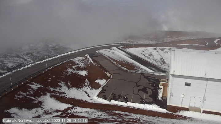
Snow plows have been busy clearing impacted roads. “After snow removal operations, the summit is clear of snow and is now open to the public,” Maunakea Rangers announced this afternoon. “There are parts of the summit road that is still closed to all. These areas are blocked by cones. Please do not go past these areas. We will continue to monitor the summit road and weather conditions with updates to follow if needed.”
