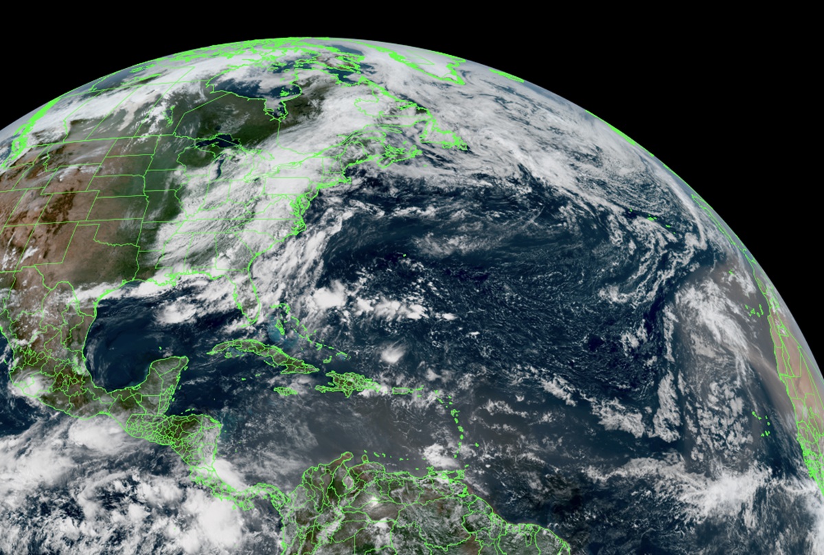
The Atlantic Hurricane Basin remains very quiet and the National Hurricane Center expects no tropical storms or hurricanes to form for the first week of August; it’s possible the hurricane drought may last even longer than that.
In today’s Tropical Weather Outlook, the National Hurricane Center (NHC) was brief, simply stating that “Tropical cyclone formation is not expected during the next 7 days.” The Atlantic Hurricane Basin includes the North Atlantic, the Caribbean Sea, and the Gulf of America.
So far, only two systems have formed in the Atlantic Hurricane Basin to date and both formed in the Gulf of America. The first was Tropical Storm Arthur which struck the Texas coast near Galveston on June 10. The second storm was Tropical Storm Bertha which also ultimately entered land for the final time also near Galveston, Texas on July 23.
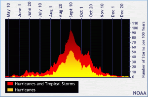
But forecasters also warn current conditions don’t necessarily mean the quiet will last.
In 2022, a similar situation unfolded. At this time that year, it had been pretty tame. That year, Tropical Storm Alex formed five days after the start of the season, making it the first time since 2014 there wasn’t pre-season tropical cyclone formation in the basin. Roughly a month later, Tropical Storm Bonnie quickly formed and made landfall along the coasts of Costa Rica and Nicaragua; from there, it crossed Central America and maintained its tropical cyclone structure and name as it moved into the eastern Pacific Hurricane Basin. While Bonnie was crossing Central America, Tropical Storm Colin developed over coastal South Carolina and dissipated as quickly as it formed along the North Carolina coast the next day. The rest of July and all of August featured a tropical cyclone drought; this was the first season since 1997 that no tropical cyclones formed. After a 60 day stretch of no storm activity in the basin, Danielle and Earl formed in the Atlantic, becoming the first hurricanes of the season.
But despite having a quiet peak, the 2022 season had a late peak instead.
Activity increased tremendously at the end of that September as four named storms formed in quick succession. Among them, Hurricane Fiona became the season’s first major hurricane on September 20, which is about three weeks later than when the first one typically forms. As an extratropical cyclone it became the strongest storm in Canadian history, as measured by atmospheric pressure, and caused significant damage in Atlantic Canada. Hurricane Ian then became the second major hurricane of the season on September 27 and the only Category 5 of the season on September 28 and inflicted an estimated $113.1 billion in damage to western Cuba, Southwestern and Central Florida, and the Carolinas. Hurricane Julia formed in early October and became the second storm of the season to cross over into the Pacific basin intact after traversing Nicaragua, making this season the first to have more than one crossover system since 1996. The last storm in the season, Hurricane Nicole, made landfall on the coasts of the Bahamas and Florida. It was the first November hurricane to make landfall in Florida since Kate in 1985, and caused about $1 billion in damage in areas devastated by Ian six weeks earlier.

While 2022 had a quiet peak, tropical cyclones during that season collectively caused at least 304 deaths and more than $117.7 billion in damage, making it one of the costliest seasons on record.
The same may not happen this year, but forecasters don’t want people to let their guard down either. Global weather patterns could become more favorable for tropical cyclone development than they have in recent weeks by late September. And the lack of tropical cyclone activity in the Atlantic and Gulf of America means there’s an abundance of heat energy for tropical cyclones to use when they do form. The National Weather Service and the National Hurricane Center have issued recent statements encouraging people to stay alert to evolving conditions even as we enter the peak without any systems.
