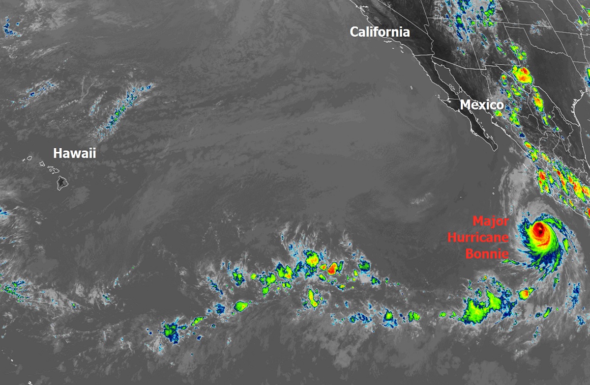
Hurricane Bonnie reached Major Hurricane status today with maximum sustained winds in excess of 110 mph; while the National Hurricane Center (NHC)’s official forecast calls for the storm to weaken with time, it is possible moisture from the storm will impact Hawaii around July 15, where rain is much needed. Bonnie had entered the Pacific as tropical storm Bonnie after bringing heavy rains and flood, mudslides, and damaging wind gusts to portions of Costa Rica and Nicaragua in Central America last week. Since then, it’s been spinning about in the eastern Pacific far enough off-shore not to create direct impacts to land. However, rough surf from the off-shore storm is making it to the coast of Mexico, making it dangerous for swimmers and surfers there.
Typically, mountains across Central America don’t allow a tropical cyclone from one hurricane basin to cross into the other. However, similar to Tropical Storm Alex’s roots earlier this season as a disturbance in the Pacific, this second storm of the unusual 2022 season survived the journey to the Pacific from the Atlantic and remained named as Bonnie. Since reliable records were kept in 1851, there have only been 18 cross-over tropical cyclones recorded. The last was November 2016’s Otto which traveled from the Atlantic as a Category 3 hurricane to the Pacific as a Tropical Storm.
In 2000, the World Meteorological Organization made a policy change to naming cross-over storms. Before that time, a system would get a new name when it entered the new basin. Otto became the first storm to retain its name and now Bonnie is the second.

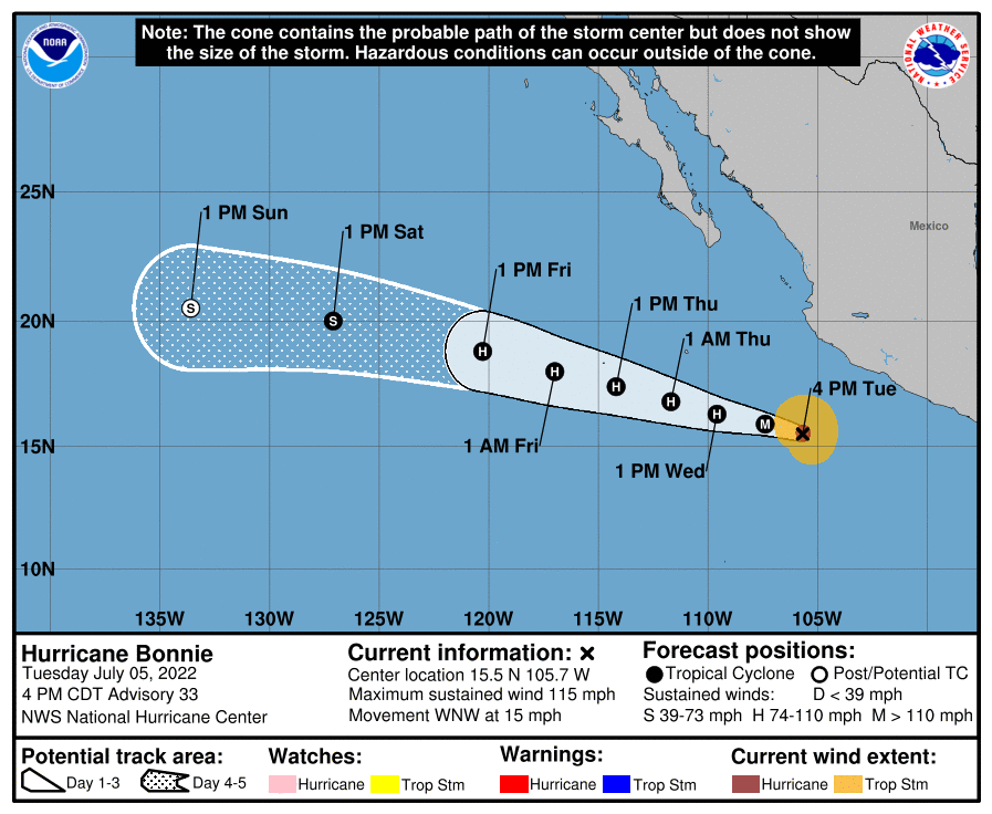
Right now, Major Hurricane Bonnie is located about 340 miles south of Cabo Corrientes Mexico. Bonnie has maximum sustained winds of 115 mph; its minimum central pressure is at 964 mb or 28.47″. It is moving to the west-northwest at 15 mph.
Bonnie is forecast by the NHC to continue its westward to west-northwestward motion over the next several days, with a slight decrease in forward speed during the next couple of days.
While Bonnis is a major Category 3 hurricane on the Saffir-Simpson hurricane wind scale for now and little change in strength is forecast tonight, gradual weakening is forecast to begin Wednesday or Wednesday night and continue through Thursday. The official NHC forecast brings it down to tropical storm status by 1pm on Saturday.

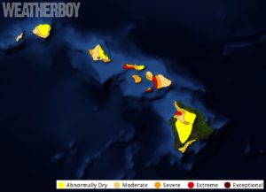
Global computer forecast models suggest the storm will eventually head west towards Hawaii. Because the Pacific is relatively colder between the coast of Mexico and the islands of Hawaii, additional weakening is likely and the storm system will likely lose all tropical characteristics as it moves west. However, lingering moisture from Bonnie could travel over Hawaii, bringing heavy rain to the island chain state on/around July 15. While a sudden surge of moisture could bring flash flooding and mud/rock slides to Hawaii, it could also bring much needed precipitation to a state suffering from a prolonged serious drought.
Beyond Bonnie, there are no other tropical threats in either the Central Pacific Hurricane Basin where Hawaii is or within the Eastern Pacific Hurricane Basin where Mexico’s west coast is. The NHC is monitoring a disturbance south of Bonnie, but there’s only a 30% chance that a tropical cyclone will form there over the next 5 days.