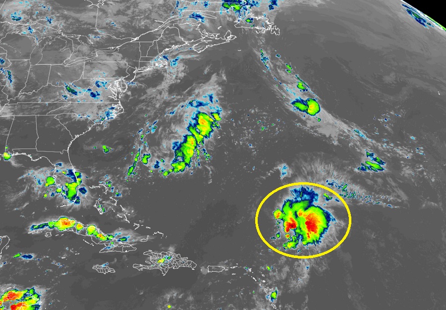
There’s a cluster of some concern over the tropical Atlantic, prompting the National Hurricane Center to monitor the area in question. The cluster of showers, storms, and clouds is over open waters of the Atlantic well north and east of Puerto Rico and well south and east of Bermuda.
Showers and thunderstorms have increased somewhat in association with a broad trough of low pressure located several hundred miles south-southeast of Bermuda today. According to the National Hurricane Center in Miami, Florida, upper-level winds are currently not favorable for much additional development of this system as it moves slowly north-northwestward over the next several days, remaining over the Central Atlantic well southeast of Bermuda.
For now, the National Hurricane Center says there’s only a 10% chance that this cluster will turn into a tropical cyclone sometime over the next 48 hours or over the next five days. Nevertheless, the National Hurricane Center will continue to monitor in case any development does occur.
Elsewhere, the Atlantic Hurricane Basin remains quiet and it is unlikely a tropical cyclone will develop anywhere within it over the next 5 days.
The 2022 Atlantic Hurricane Season runs through to the end of November.