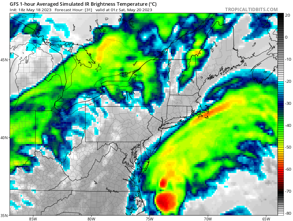
A coastal storm is expected to form off of the East Coast tomorrow into Saturday, bringing a soaking rain to portions of the Mid Atlantic and Northeast as it moves through. In addition to that non-tropical low, even though the 2023 Atlantic Hurricane Season doesn’t officially kick-off until June 1, the National Hurricane Center (NHC) is monitoring disturbances in the Atlantic for any signs of organization.
While a coastal storm will form and bring wet weather to the northeast, it will be quickly pushed north and east out to sea by an approaching cold front from the west that’ll cut off precipitation and prevent the coastal storm from intensifying into something greater than what it’ll be. Much of the rain from the system will fall on Saturday, with Delaware, New Jersey, and eastern Maryland and Pennsylvania expected to see the most rain. Up to 1″ could fall along and east of the I-95 corridor in New Jersey from this storm system. As the cold front approaches from the west, the moisture from the coastal system will accelerate north into New England, with Connecticut, Massachussetts, New Hampshire, Rhode Island, and New Hampshire likely to see rain Saturday night into early Sunday morning.
On the coast, Small Craft Advisory conditions will be likely with 4-6 foot seas and 10-15 kts winds. Tides will run high the next few days as the time of the new moon approaches on Friday morning. The onshore flow will gently enhance the levels as well. The National Weather Service says a point or two could get in the lower edge of minor coastal flood conditions but that the overall make-up of the pattern and this coastal system don’t warrant any coastal flood advisories or watches.
While this coastal storm system, which is being tracked and watched by East Coast National Weather Service offices, heads away from the U.S., the NHC in Miami, Florida is monitoring areas in the Atlantic for signs of tropical system genesis or organization. For now, nothing is concerning. An eastern Atlantic tropical wave has its axis near 24W, south of 11N, and is moving west slowly at speeds of less than 10 mph. While there’s some scattered moderate convection here and elsewhere in the Atlantic, the NHC doesn’t expect any system to take on tropical cyclone characteristics at this time.