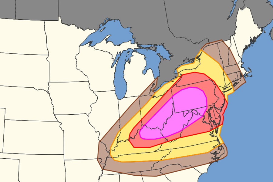
Another round of severe thunderstorms with potentially destructive wind gusts is expected again on Tuesday in the eastern United States, with an area stretching from Indiana to New Jersey under fire for the worst winds. According to the National Weather Service’s Storm Prediction Center (SPC) and their latest Convective Outlook, there is another severe weather outbreak likely tomorrow with damaging to destructive straight line winds being the dominant threat. According to the SPC, there are more than 45 million people within an area of 170,000 square miles at risk of damaging or destructive winds on Tuesday.
“Numerous severe thunderstorms are expected across a broad region from the Ohio Valley into the Mid-Atlantic and Northeast on Tuesday,” warns the SPC, adding, “All severe hazards are possible, but swaths of damaging wind gusts should be the primary severe risk Tuesday afternoon into the nighttime hours.”
Thunderstorm winds, often called straight-line winds or downbursts, are incredibly dangerous because they can exceed 100 mph and cause structural damage rivaling a tornado. These sudden, high-speed gusts of cold, rain-cooled air hit the ground and push outward, easily snapping trees, destroying mobile homes, and downing power lines.
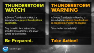
Damaging winds are often called “straight-line” winds to differentiate the damage they cause from tornado damage. Strong thunderstorm winds can come from a number of different processes. Most thunderstorm winds that cause damage at the ground are a result of outflow generated by a thunderstorm downdraft. Damaging winds are classified as those exceeding 50-60 mph.
Damage from severe thunderstorm winds account for half of all severe reports in the lower 48 states and is more common than damage from tornadoes. Wind speeds can reach up to 100 mph and can produce a damage path extending for hundreds of miles.
Since most thunderstorms produce some straight-line winds as a result of outflow generated by the thunderstorm downdraft, anyone living in thunderstorm-prone areas of the world is at risk for experiencing this hazard.
People living in mobile homes are especially at risk for injury and death. Even anchored mobile homes can be seriously damaged when winds gust over 80 mph.
The greatest risk of damaging winds on Tuesday will be over northeastern Kentucky, southern and eastern Ohio, much of West Virginia, northern Virginia, much of Pennsylvania and Maryland, Delaware, and New Jersey. Portions of southeastern Indiana and southern Upstate New York are also impacted by this issue.
