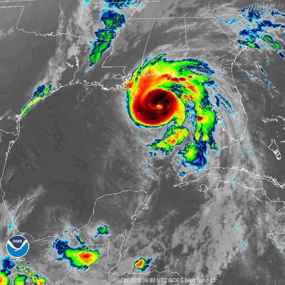
For the first time ever in recorded history, a Category Four Hurricane is about to strike the Panhandle of Florida. Major Hurricane Michael now has sustained winds of 130mph, making it a Category 4 Hurricane on the Saffir-Simpson wind scale. The National Weather Service office in Tallahassee, Florida issued an urgent plea to residents there: “If you live along the coast and were told to evacuate…this is YOUR LAST CHANCE. Hurricane Michael is an unprecedented event and cannot be compared to any of our previous events. Do not risk your life, leave NOW if you were told to do so.”
Data from Air Force Reserve and NOAA Hurricane Hunter aircraft indicate that maximum sustained winds have increased to near 130 mph with higher gusts. The National Hurricane Center warns that some additional strengthening is possible today before Michael makes landfall in the Florida Panhandle or the Florida Big Bend area. Weakening is expected after landfall as Michael moves across the southeastern United States.
Hurricane-force winds extend outward up to 45 miles from the center and tropical-storm-force winds extend outward up to 175 miles.
The minimum central pressure estimated from Air Force Hurricane Hunter data is 945 mb or 27.91 inches.