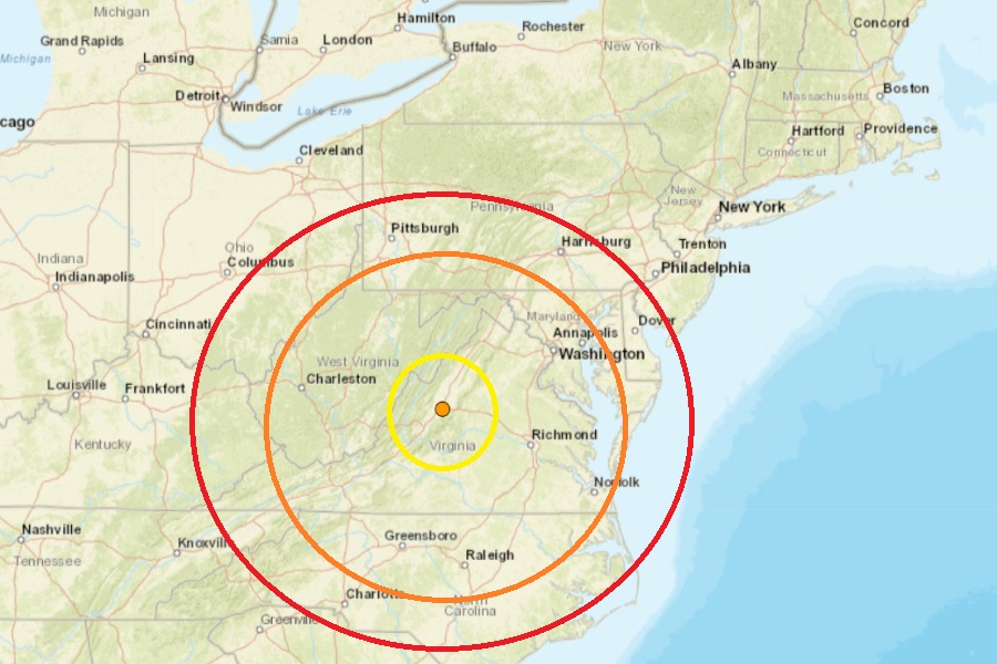
A relatively weak earthquake struck central Virginia last night, with more than 20 people reporting to USGS they felt it. The magnitude 2.2 event struck at 6:19 pm last night near Stuarts Draft from a depth of 2.4 km. Stuarts Draft is located in the central part of the state, west of Charlottesville and Richmond. This Mid Atlantic quake is the first earthquake to strike Virginia in months; in July, a pair of earthquakes hit the state. There were no reports of injuries or damage; usually, none are expected with such low magnitude events.
This most recent earthquake was similar in intensity to other quakes to rattle the state earlier in the summer. On June 20, a magnitude 2.3 event struck near New Castle. Last October, there was also an earthquake weaker than today’s that forced schools to close in one county. Two weeks before, another earthquake struck north and west of Richmond.
Virginia doesn’t have much seismic activity but earthquakes can occur here from time to time. According to the Virginia Tech Seismological Observatory, Virginia has had over 160 earthquakes since 1977 of which 16% were felt. This equates to an average of one earthquake occurring every month with two felt each year.
Virginia can get damaging earthquakes too. The strongest in modern times was the magnitude 5.8 earthquake that struck near Mineral, Virginia, on August 23, 2011. That seismic event was widely felt–from Maine to Georgia, west to Cincinnati, Cleveland, and Chicago, and southeastern Canada–over a broad area inhabited by one-third of the U.S. population. When the earth stopped shaking, more than 148,000 people reported their experience of the earthquake on the USGS website. The total economic losses from the earthquake were about $200−300 million, which included millions of dollars in damage to the National Cathedral, the Armed Forces Retirement Home, and the Washington Monument in Washington D.C., as well as minor to major damage to almost 600 residential properties. It was the largest and most damaging earthquake in the eastern United States since the 1886 Charleston, South Carolina earthquake. Damage in the epicentral area represents Modified Mercalli intensity VIII, with many instances of broken and collapsed masonry walls and chimneys, as well as shifting of structures on their foundations. Significant damage occurred to structures at distances in excess of 80 miles to the northeast in the Washington DC area. The rupture process was a complex reverse fault event, initiating at a depth of 8 km.
