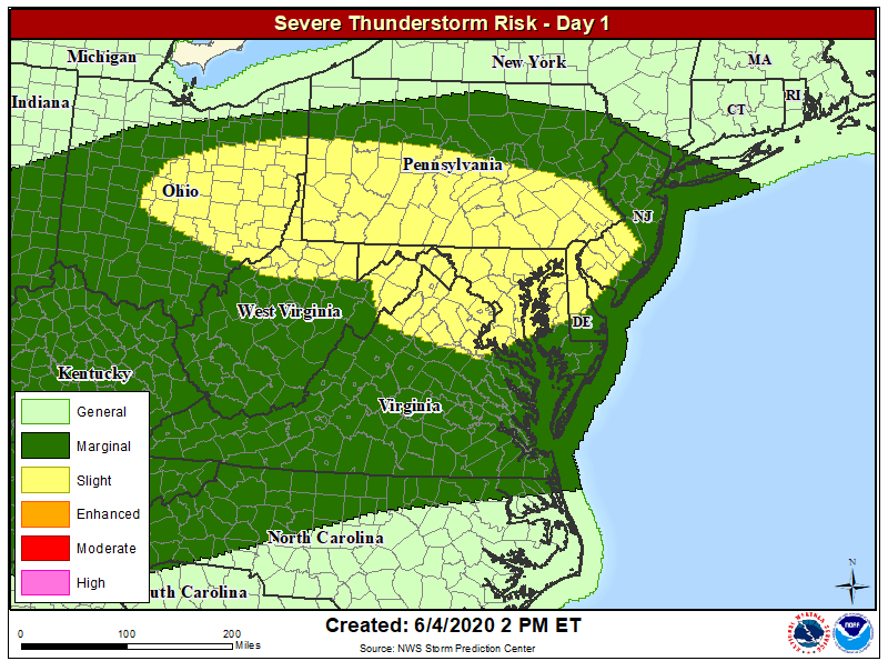
Just a day after a powerful derecho blew through portions of Pennsylvania and New Jersey, it is likely there will be another severe weather outbreak this afternoon. Severe thunderstorms in Ohio and Pennsylvania now will push east into eastern Maryland, Delaware, and the southern half of New Jersey later today. The National Weather Service is in the process of issuing Severe Thunderstorm Watches for these storms which are spreading east over time.
Areas hard-hit by yesterday’s derecho in eastern Pennsylvania and southern New Jersey will see storms return between 7pm and 1am tonight. Strong thunderstorms with locally heavy rain should move across the region tonight, following a boundary between unstable air centered in eastern Virginia and stable air over southeastern New England. While storms could contain large hail and damaging winds, tornadoes are not expected in this type of environment at this time. However, heavy rain is and there could be localized flooding problems; some storms may dump upwards of 2″ of rain.
Storms are forecast to clear the coast by 1am tonight. Another round of strong to severe thunderstorms is forecast to fire-up again tomorrow afternoon over the Mid Atlantic. However, those should be less potent than today’s and cover a smaller area than today’s.
