Earlier this week, NOAA’s GOES-17 weather satellite began transmitting its first high-definition images of Alaska, Hawaii, and the Pacific Ocean. The new imagery became available shortly after GOES-17 finished moving to its new orbital position at 137.2 degrees west longitude. On December 10, it will become operational as the new GOES-West. With an advanced satellite now parked over the Pacific, meteorologists will have access to higher-resolution data and imagery that should help with forecasts throughout the United States.
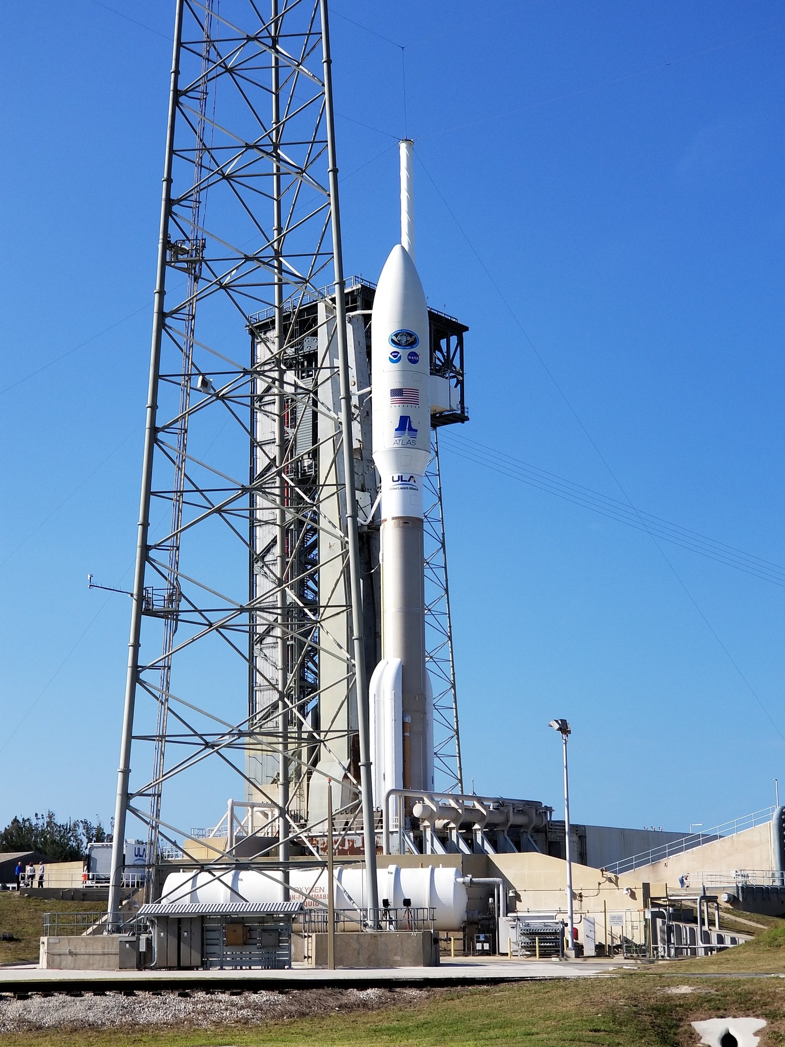
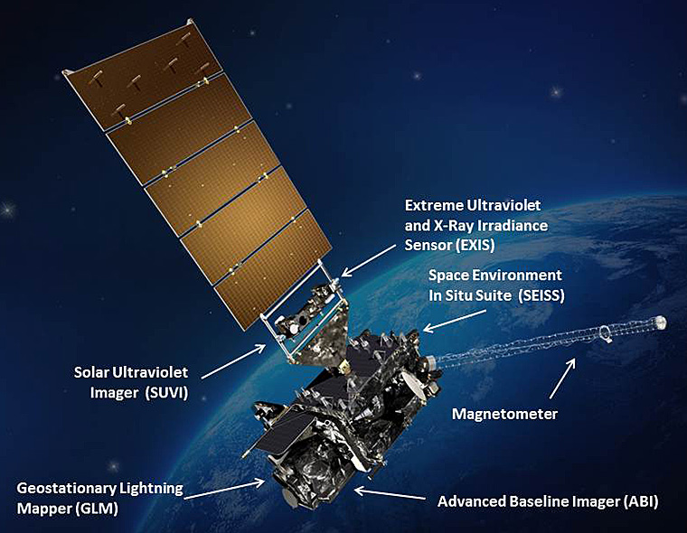
Launched March 1, 2018 from NASA’s Kennedy Space Center, GOES-17 is the second in a series of NOAA’s next-generation geostationary weather satellites. Like GOES-16, its sister satellite operating as GOES East, GOES-17 is designed to provide advanced imagery and atmospheric measurements of Earth from 22,300 miles above the equator. The Advanced Baseline Imager (ABI) on-board GOES-17 is identical to the instrument on GOES-16. The GOES-17 ABI will offer the same high-resolution visible and infrared imagery in GeoColor and 16 different channels, allowing us to track and monitor cloud formation, atmospheric motion, convection, land surface temperatures, fire and smoke, volcanic ash, sea ice, and more.
Unfortunately, the new satellite is not without its problems. During a check-out phase of testing, it was determined that the ABI is severely hampered by a defect in a cooling system on the satellite. The loop heat pipe (LHP) subsystem, which transfers heat from the ABI electronics to the radiator, is not operating at its designed capacity. As such, the ABI detectors cannot be maintained at their intended temperatures under certain orbital conditions; this is preventing adequate cooling for some of the infrared (IR) channels on the instrument during parts of the night, leading to partial loss of ABI imagery.
Infrared signals with long wavelengths can be swamped by infrared light emitted by warm parts of the imager, degrading the signal. Cooling the detectors reduces this thermal “noise” in observations. During nighttime hours, the sun heats up the ABI detectors faster than they can be cooled. The detectors become warmer than they’re designed to operate, and they begin to radiate at temperatures closer to the wavelengths they’re attempting to detect from the Earth. According to NOAA, eventually local emissions and dark current noise overwhelm the signal from the Earth, and the channels saturate, meaning a useful signal is not available. Channel availability will also fluctuate seasonally depending on the amount of solar radiation absorbed by the instrument. In October, it was determined that foreign debris became wedged in the cooling tube on the satellite, resulting in this issue.
