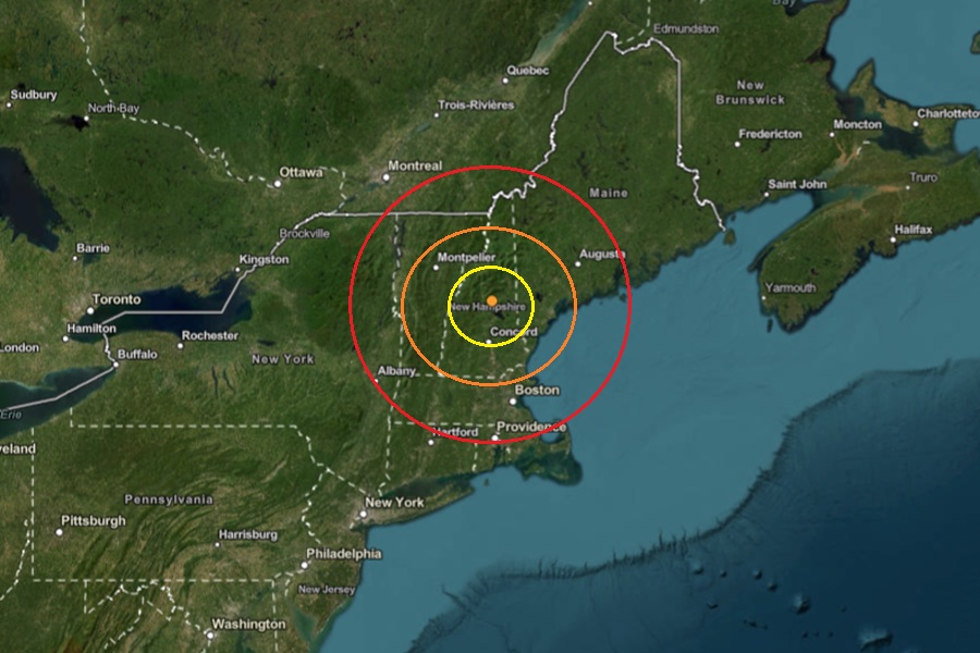
A weak earthquake rattled central New Hampshire yesterday; there were no reports of any damage or injuries. According to USGS, at 9:24 pm from a depth of 7.3 km, a weak magnitude 1.6 earthquake struck near the town of Center Sandwich, New Hampshire which is located near Lake Winnipesaukee. There were three other similarly weak earthquakes to strike within 250 km over the last three weeks; they included a magnitude 1.9 event in Eustis, Maine on August 30, a magnitude 1.6 event near Saint-Edouard, Canada, and another magnitude 1.6 event near Madison, Maine on August 21.
According to USGS, earthquakes with a magnitude of 2.0 or less are rarely felt or heard by people, but once they exceed 2.0 , more and more people can feel them. While damage is possible with magnitude 3.0 events or greater, significant damage and casualties usually don’t occur until the magnitude of a seismic event rises to a 5.5 or greater rated event.
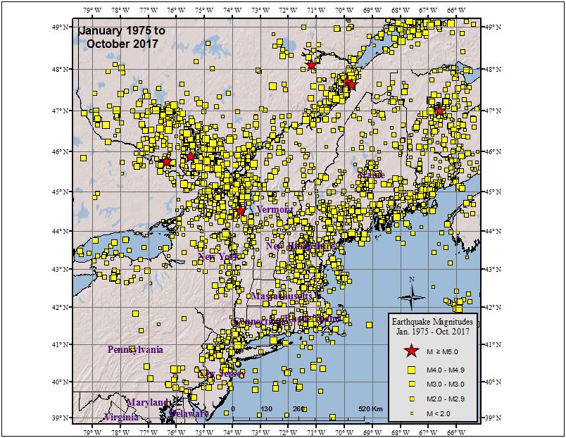
While earthquakes do strike from time to time, none were strong or damaging in New Hampshire this year. Earthquakes aren’t completely rare in this part of the country; some can even be damaging. According to the Northeast States Emergency Consortium, there were 320 earthquakes between 1638 and 2016; earthquakes that struck in 1638 and 1940 produced damaging results.
People in New England, and in its geological extension southward through Long Island, have felt small earthquakes and suffered damage from infrequent larger ones since colonial times. Moderately damaging earthquakes strike somewhere in the region every few decades, and smaller earthquakes are felt roughly twice a year. The Boston area was damaged three times within 28 years in the middle 1700’s, and New York City was damaged in 1737 and 1884. The largest known New England earthquakes occurred in 1638 (magnitude 6.5) in Vermont or New Hampshire, and in 1755 (magnitude 5.8) offshore from Cape Ann northeast of Boston. The Cape Ann earthquake caused severe damage to the Boston waterfront. The most recent New England earthquake to cause moderate damage occurred in 1940 (magnitude 5.6) in central New Hampshire.
