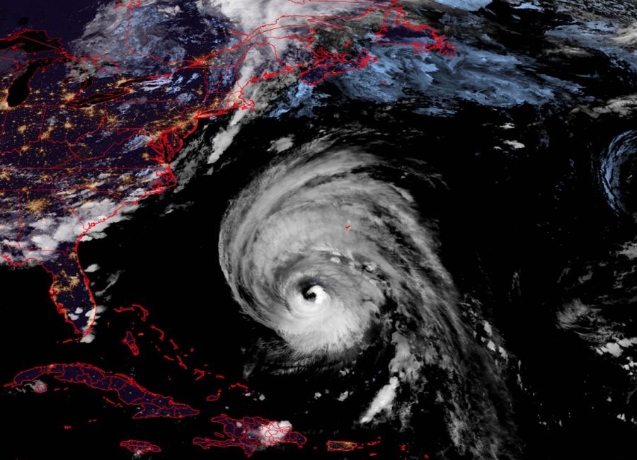
NOAA forecasters gathered in Washington, DC today to unveil their seasonal outlook for the upcoming Atlantic Hurricane Season; they are warning that conditions are ripe for a hyper-active season in the Atlantic Basin. The NOAA outlook is in line with a seasonal outlook released by tropical meteorology experts at Colorado State University (CSU) in April which also called for an extremely busy season. The Atlantic Hurricane Season runs from June 1 through to November 30.
NOAA National Weather Service forecasters at the Climate Prediction Center (CPC) predict above-normal hurricane activity in the Atlantic basin this year; specifically, they say there’s an 85% chance of an above-normal season, a 10% chance of a near-normal season and a 5% chance of a below-normal season.
Translating odds into numbers, the NOAA forecast is calling for a range of 17 to 25 total named storms (winds of 39 mph or higher). Of those, 8 to 13 are forecast to become hurricanes (winds of 74 mph or higher), including 4 to 7 major hurricanes (category 3, 4 or 5; with winds of 111 mph or higher). In a typical season, there are 14 named storms, 7 hurricanes, and 3 major hurricanes.
Like the CSU outlook, the NOAA forecast doesn’t call for specific storm tracks or locations where a landfall could be possible; it simply reflects the total amount of storms expected in the basin due to conditions there now and forecast conditions throughout the season.

“With another active hurricane season approaching, NOAA’s commitment to keeping every American informed with life-saving information is unwavering,” said NOAA Administrator Rick Spinrad, Ph.D. “AI-enabled language translations and a new depiction of inland wind threats in the forecast cone are just two examples of the proactive steps our agency is taking to meet our mission of saving lives and protecting property.”
“Severe weather and emergencies can happen at any moment, which is why individuals and communities need to be prepared today,” said FEMA Deputy Administrator Erik A. Hooks. “Already, we are seeing storms move across the country that can bring additional hazards like tornadoes, flooding and hail. Taking a proactive approach to our increasingly challenging climate landscape today can make a difference in how people can recover tomorrow.”
In today’s update, NOAA scientists predict a quick transition to La Nina conditions, which are conducive to Atlantic hurricane activity because La Nina tends to lessen wind shear in the tropics. At the same time, abundant oceanic heat content in the tropical Atlantic Ocean and Caribbean Sea creates more energy to fuel storm development. Current sea surface temperatures across the tropical cyclone-producing portion of the Atlantic basin are at or higher than their usual August levels right now, which could spell trouble for tropical cyclone development in the coming weeks and months. NOAA says that this hurricane season also features the potential for an above-normal west African monsoon, which can produce African easterly waves that seed some of the strongest and longer-lived Atlantic storms.