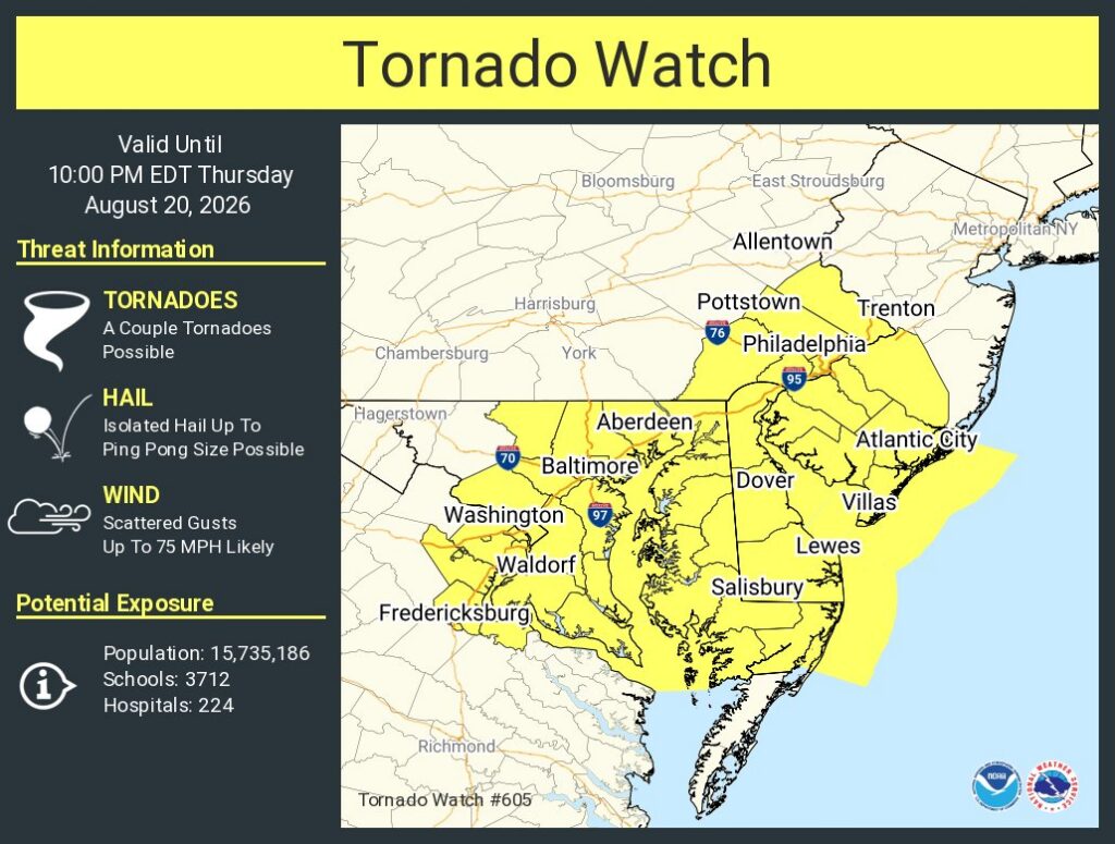
Severe thunderstorms and the risk of isolated tornadoes are forecast to impact the Mid Atlantic today. Due to the threat, the National Weather Service’s Storm Prediction Center issued a Tornado Watch for portions of Pennsylvania, New Jersey, Maryland, Virginia, and all of Delaware; Washington DC is included in this region.
Scattered severe storms are possible this afternoon into this evening across parts of the Mid Atlantic, posing a risk for a couple of tornadoes and damaging wind gusts.
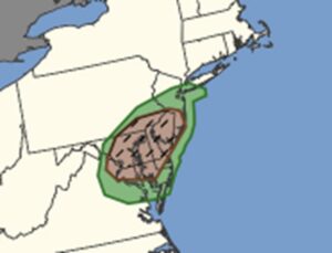
According to the National Weather Service’s Storm Prediction Center (SPC), regional radar mosaics show the development of discrete and semi-discrete supercells across the northern Maryland into southern Pennsylvania ahead of a mid-level perturbation and weak cold front. Atmospheric soundings show support for severe storms and tornadoes, especially around far southeastern Pennsylvania, central and southern New Jersey, northeastern Maryland, and much of Delaware.
The SPC warns, “An organizing cluster of storms will pose increasing potential to produce damaging wind gusts and a couple of tornadoes into and across the Greater Philadelphia vicinity through the the 6-7 PM EDT time frame.”
Beyond the tornado threat, storms will have frequent lightning, damaging wind gusts, the possibility of large hail, and could create isolated flash flooding. The National Weather Service cautions: “Turn around, don’t drown! Never drive through flood waters.”
