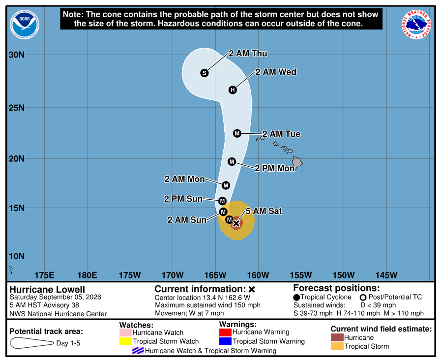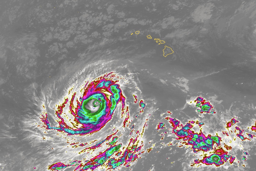
While it now appears likely the eye of Major Hurricane Lowell will pass west of the island of Kauai, the National Weather Service believes heavy rain and gusty winds will spread over much of the state anyway in the coming days as Lowell approaches.
Hurricane Lowell is currently sitting about 540 nautical miles south-southwest of Kauai moving west at 6 kt as a category 4 storm with 150 mph maximum sustained winds. Lowell is forecast to make a sharp turn to the north and then north-northeast at some point later today into tonight. It`s forward speed will increase once it begins moving north and will make its closest approach to the main Hawaiian Islands Monday night as a category 2 to 3 hurricane. Lowell is forecast to pass west of Kauai`s coastal waters, and will bring several hazards to the state. The hazards are expected to be flooding, strong southerly winds, and high surf.
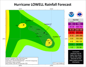
The greatest risk for flooding at this time appears to be Sunday evening through Tuesday morning, and could potentially linger into Wednesday, as deep tropical moisture associated with Lowell is drawn up from the south. The winds will also veer to the east- southeast and increase starting Sunday evening. The threat of heavy rainfall and thunderstorms will be present anywhere in the state, and flooding could occur as a result. Exact details on where the heaviest of rain will fall remain uncertain, as any heavy showers and thunderstorms that develop will likely be disorganized.
Because of this, the National Weather Service office in Honolulu on the island of Oahu warns, “Everyone in the state should be prepared for flooding.” The issuance of a flood watch is anticipated later this afternoon.
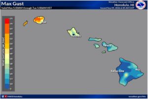
Winds will increase and veer out of the east-southeast by Sunday night into Monday morning with Kauai County having the strongest winds. Winds will also increase out of the southeast for the rest of the islands to a lesser extent, and could be amplified by island terrain.
No tropical storm or hurricane watches are up yet, but that could change this evening. For now, the National Weather Service and National Hurricane Center want the public to be aware of these 3 key points:
1. Lowell is forecast to move close to the western Hawaiian Islands late Monday and Monday night. There is a risk of storm surge and wind impacts for portions of Hawaii, particularly Kauai County, early next week and watches will likely be issued later today. Residents should ensure they have their hurricane plan in place and follow advice from local officials.
2. Heavy rainfall associated with Lowell will begin to impact the Hawaiian Islands Sunday afternoon and continue through early next week. Periods of heavy rain may produce locally significant flash flooding and mudslides, especially in areas of steep terrain.
3. Swells from Lowell are likely to cause life-threatening surf and rip current conditions in portions of the Hawaiian Islands during the next several days. These swells are likely to increase early next week.