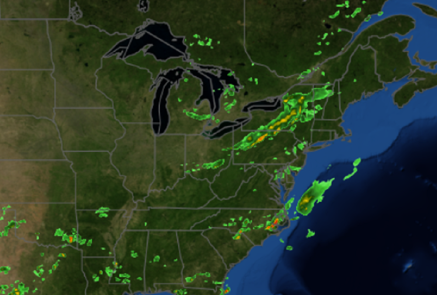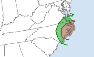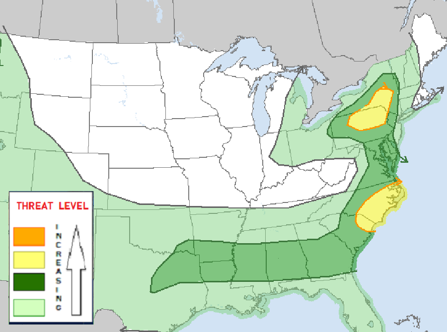
Unfortunately, another round of severe thunderstorms and another risk of isolated tornadoes from those severe storms exists over portions of the eastern U.S. this afternoon and evening. However, unlike Thursday’s severe weather event which brought more than a half dozen tornadoes to New Jersey and Pennsylvania, the severe weather today is split into two areas: the first is over the interior northeast over Pennsylvania and New York while the second is over eastern North Carolina and extreme southeastern Virginia.

The cluster of showers and storms over North Carolina is also posing an increased risk of isolated tornadoes there. According to the latest data from the National Weather Service’s Storm Prediction Center, the greatest threat of tornadoes is over eastern North Carolina. While not everyone will see a tornado, the greatest risk of one is near the Outer Banks; because of the presence of water, waterspouts are also possible and can be hazardous too.
In the northeast, the greatest threat from the severe storms will be damaging wind gusts. Unlike Thursday’s outbreak where atmospheric conditions were favorable for tornado development, the same isn’t true for today’s severe weather event.
However, strong to severe storms are possible, without that heightened tornado risk, in the area hit hard by Thursday’s tornadoes and severe thunderstorms. Computer forecast model guidance suggests the line of storms currently in central Pennsylvania and New York will make its way south and east to the I-95 corridor, bringing gusty showers and storms to places like Philadelphia with time. While the risk of isolated tornadoes is low around the I-95 corridor, there is a risk of damaging wind gusts from these storms.

The storms in the Northeast and Mid Atlantic are forecast to wrap up during the evening hours, with fair and dry conditions arriving for the overnight period.