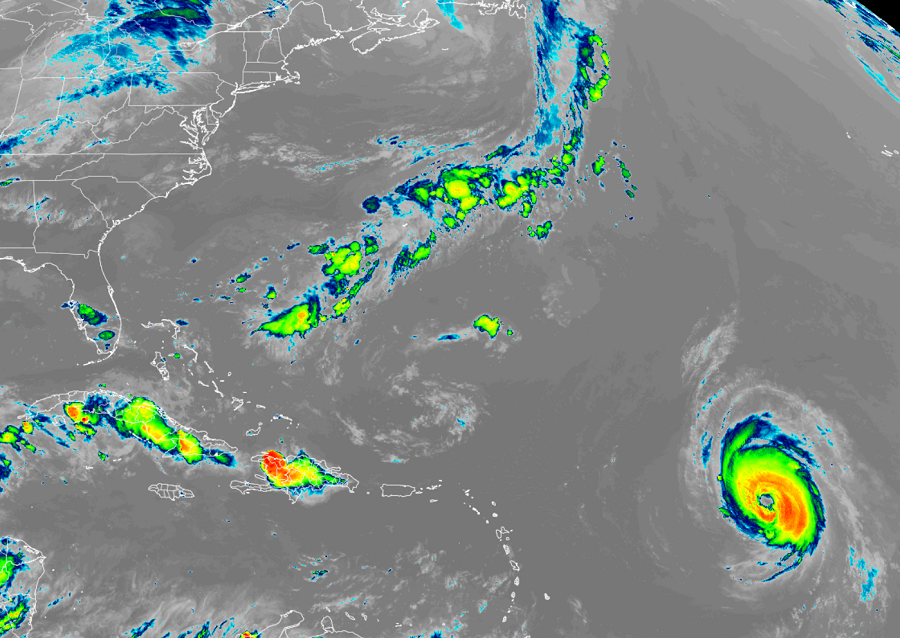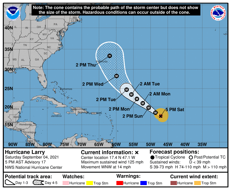
Major Hurricane Larry is spinning about in the Atlantic Ocean as a 125 mph Major Category 3 hurricane on the Saffir-Simpson hurricane wind scale. While the National Hurricane Center is fairly confident that the U.S. East Coast will avoid a direct strike from this storm, they are just as confident that dangerous surf and rip currents are likely to develop along the entire U.S. East Coast next week.
In the last update from the National Hurricane Center (NHC), Larry was located at 17.4 N 47.1 W which is roughly 970 miles east of the Leeward Islands and 1,510 miles southeast of Bermuda. Larry is a large and powerful hurricane: hurricane-force winds extend outward up to 45 miles from the
center and tropical-storm-force winds extend outward up to 160 miles. The minimum central pressure is down to 958 mb or 28.29″.
For now, Major Hurricane Larry is moving toward the west-northwest near 14 mph. According to the NHC, a somewhat slower west-northwest to northwest motion is expected during the next few days. The NHC also says some additional strengthening is forecast over the next day or so, followed by some intensity fluctuations. However, Larry is expected to remain at major hurricane strength through the early part of next week.
Larry is the third 125+ mph hurricane of the 2021 Atlantic Hurricane Season; only three other seasons on record have had that many strong storms by September 4: 1933, 2005, and 2008.

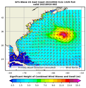
Because of its size and intensity, large waves and swells are expected to be generated over the next several days as Larry moves north and west. According to the NHC, swells generated by Larry are expected to reach the Lesser Antilles on Sunday, and will continue to spread westward to portions of the Greater Antilles, the Bahamas, and Bermuda Monday and Tuesday. The NHC says significant swells will likely reach the eastern United States coastline after Labor Day. “These swells are likely to cause life-threatening surf and rip current conditions,” the NHC warns. They could also cause coastal beach erosion and could create some coastal flood issues, especially in the Mid Atlantic and Northeast. These indirect impacts could interfere with clean-up efforts underway from hurricanes Henri and Ida.

Waves greater than 50 feet high are possible around the storm center. While waves along the U.S. east coast won’t be nearly that high, they could be over 10′ tall along parts of the North Carolina, Virginia, Delaware, New Jersey, Maryland, New York, Rhode Island, and Massachusetts coasts.