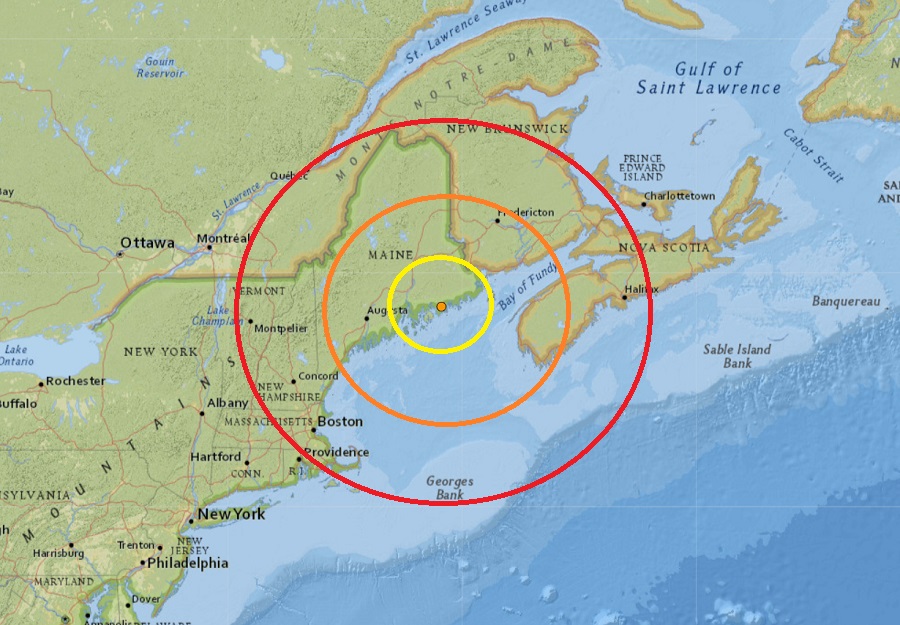
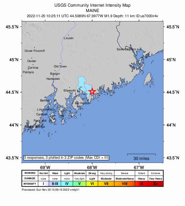
Sunday began with a weak earthquake in coastal Maine. While no damage was reported, a few people did use the USGS website’s “Did you feel it?” tool to report they felt shaking. According to USGS, the weak 1.9 magnitude event struck at 5:25 am just west of Steuben, Maine. Steuben is located just northeast of tourist-favorite Bar Harbor and Acadia National Park on the Atlantic coast of Maine.
While not famous for their earthquakes, Maine does get them from time to time. Today’s earthquake was the third and the strongest of the three to strike the state in the last 30 days; the others were a 1.1 magnitude event in Newry on November 6 and a magnitude 1.6 event on October 29.
Other earthquakes struck Maine earlier this year too. On April 24, an earthquake of similar intensity of this latest quake struck central Maine. Earlier that month, on April 2, a magnitude 2.0 earthquake struck about 7 miles southeast of Waterville, near the Winslow-China town line. On March 8, a magnitude 2.1 earthquake struck about 2 miles north of Tunk Lake in eastern Hancock County. On February 12, a magnitude 2.4 earthquake struck 12 miles west of Houlton; some locals reported feeling shaking then. On February 4, a magnitude 2.9 event was widely felt in the Bethel area of western Maine, 8 miles from the epicenter in Gorham, New Hampshire. People up to 25 miles away from the epicenter of that earthquake felt it in Maine. Two earthquakes of a 2.0 magnitude hit on January 17 ; one was 2 miles west of Springvale, the other was about 1/2 mile south of Springvale.
The strongest earthquake to strike Maine in the last 10 years was a magnitude 4.5 event on October 16, 2012 in East Waterboro, about 13 miles northwest of Saco.
According to the Maine Geological Survey with the Department of Conservation, seismic activity in Maine is typical of the Appalachian region of northeastern North America. “There is a low but steady rate of earthquake occurrence,” they report, adding that “The earthquakes are presumably caused by modern stress being released occasionally along zones of weakness in the earth’s crust, but a more specific cause for the earthquake activity is not known.”
