While another major snowstorm is impacting portions of the northeast right now, bringing a wide area of heavy thundersnow to eastern Pennsylvania, New Jersey, and New York City, there’s no rest for the weary: meteorologists are tracking the next potential big storm. The third in a series of potent nor’easters appears to be taking shape in extended guidance, bringing another round of wind-whipped heavy precipitation to the region on Sunday/Monday. The potential exists for that storm to be stronger than today’s and dump even more snow on an area hit hard by today’s and last Friday’s storm systems.
Before the next storm arrives, high pressure will return to help with recover and repair efforts after today’s weather event. Mostly dry weather is expected for Thursday through Saturday although there is a chance for a few lingering snow showers across the southern Poconos, northern New Jersey, and the higher elevations of New England on Thursday. Temperatures will be below normal, especially considering the snow cover that will be in place in many areas during the period.
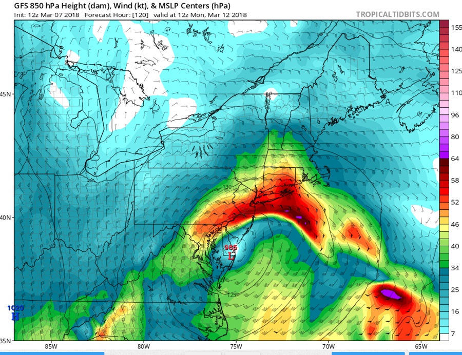
Later Saturday, the next impressive storm takes shape. Another short wave is expected to rotate around an upper level low in the northeast, bringing another round of wintry weather to the Mid Atlantic and Northeast late this weekend of early next week. Afternoon guidance today is suggesting a robust storm system, with estimated strength between today’s nor’easter and Friday’s.
