The National Hurricane Center is alerting people to the fact that a tropical cyclone is likely to form off the U.S. east coast in the coming days. To help better assess the storm potential and the environment it is in, Air Force Hurricane Hunters have been deployed to investigate the disturbance now located off the U.S. southeast coast.
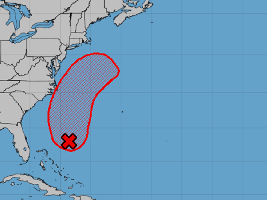
Satellite images indicate that a low pressure system located a few hundred miles northeast of the central Bahamas is gradually becoming better defined. However, the National Hurricane Center (NHC) cautions that the area of associated showers and thunderstorms still remains somewhat disorganized for now. Environmental conditions are expected to become more conducive for development, and a tropical depression is likely to form during the next day or two while the system moves north-northwestward to northward off the southeast U.S. coast.
It is still too soon to say for sure where this system will go in the coming days. Some computer forecast guidance brings it into the Mid Atlantic coast while others bring it to New England; while those landfall scenarios are possible, it’s also possible that the storm will stay out to sea, a scenario suggested by other computer models too.
Regardless of development, the NHC says this system could bring high surf to portions of the southeast and mid-Atlantic U.S. coasts later this week. Beach erosion, coastal flooding, and rip currents are other possible threats to the coast even if it doesn’t fully develop into a tropical cyclone or if it doesn’t approach the coast.
Right now, the NHC believes there’s a 70% chance that a tropical cyclone will form here in the next 72 hours.
