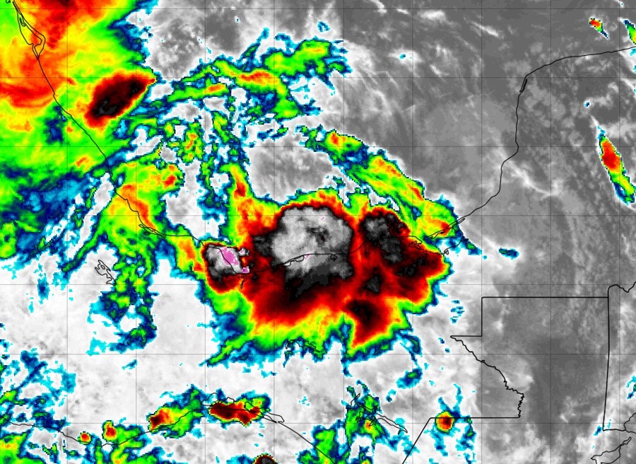
After a prolonged period of quiet in the Atlantic Hurricane Basin despite the approach of the traditional peak of seasonal activity, it is now expected that a tropical storm will form in the Gulf of Mexico in the coming days.
According to the National Hurricane Center, an area of low pressure has formed over the Bay of Campeche and is producing disorganized showers and thunderstorms. The system is forecast to drift slowly northward for a couple of days while it interacts with a frontal boundary. Environmental conditions are forecast to be conducive for development, and a tropical depression is likely to form during the early or middle part of next week while the system moves generally northward near or along the Mexican and Texas Gulf coastline.
The National Hurricane Center says there’s a 50% chance a tropical cyclone will form here over the next 48 hours and raises those odds to 70% that one will form over the next 7 days.
“Interests along the western Gulf of Mexico coast should closely monitor the progress of this system,” the National Hurricane Center said in their latest Tropical Outlook issued today.
Most computer forecast guidance suggests this system would make landfall on the Texas or Louisiana coast in about 4-5 days.
No other tropical cyclones are expected to form over the next 7 days according to the National Hurricane Center.
September 10 is considered to be the typical peak of the season which starts on June 1 and runs through to November 30.