For many, the upcoming seasonal forecast is quite snowy, with the possibilities of early season snow and a high frequency of coastal storms possible Whether or not that snow materializes is debatable, but one thing is sure: we want our snowfall forecast maps to be EPIC: Early Predictions of Inclement Conditions.
As far out as 10-14 days, Weatherboy plans to share “heads-up” messaging about snowstorm threats. While we may define areas that could see impacts and we may share computer forecast guidance, it is too soon to forecast accurate snowfall totals.
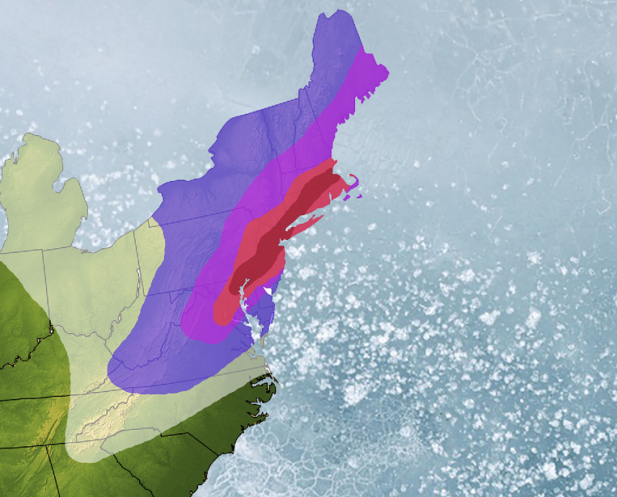
Within 7-10 days of a storm, our confidence could increase with the arrival of a winter storm. At this point, while it is still too early to get into precipitation type and amount forecasts, we will share maps showing where we believe impact points to be.
Within 5-7 days of a storm, as confidence increases, we will get into more specifics. While we likely won’t publish anything definitive, we will offer ballpark estimates, such as “expect a widespread light snowfall” or “expect a heavy wet snowfall in this region.” We’ll begin to talk to timing and potential impacts.
Within 3-5 days of a storm, depending on the variables at play, it may be possible to issue an accurate snowfall forecast map several days out. All of our snowfall forecast maps will have a timestamp in the lower right hand corner.
Within 2-3 days of a storm’s arrival, we usually have a good idea of what will happen. However, there will be times confidence will be low due to a variety of atmospheric or other scientific reasons. We will do our best to describe what the forecast is and what our limitations are to being more accurate. We probably issue our final snowfall forecast map at this time. As always, check the timestamp in the lower right hand corner of our maps: forecasts can be perishable and you want to make sure you’re not looking at the results of an “expired” forecast.
A day before a storm’s impact, our EPIC job is usually done. We may refine snowfall forecast maps as new observations or data arrives. However, our job is to get you the most accurate forecast as far as in advance as possible. Waiting ’till the day before or day of a storm’s impact to issue a snowfall forecast map probably won’t be much good for those trying to plan out their day(s.)
On the day of a storm, we depend on you for storm insights. Using a Weatherboy measuring stick or any other ruler, we are eager to get your reports and photographs of the storm and its impacts. In many cases, we pass along those results to the National Weather Service and/or other emergency management officials. When sharing weather information and imagery, always be safe: never risk your safety to get us or anyone weather information.
On the day after a storm, we usually share our insights in what worked and didn’t as it relates to the forecast. We will review actual observations and reports and in most cases will share official snowfall report maps from the National Weather Service. We use each storm as a learning exercise for our team, making sure we learn, evolve, and improve after each storm. The ultimate goal is to create EPIC dependable forecasts for you so you can be confident in your pre-storm decision making.
We implemented this process last year with an unusual March storm set-up. While some other outlets were confident a mild rain would occur, we were very confident a snowstorm would strike some heavily populated areas of the Mid Atlantic.
- On March 12, we warned of the possibility of the formation of another winter storm in an active weather pattern.
- On March 15, we went into more specifics of the storm threat.
- On March 17, we released an EPIC map describing areas that could see the worst impacts.
- On March 19, we released an updated snowfall forecast map illustrating specific areas and specific snow totals.
- On March 20, we identified additional hazards expected in the snowstorm.
- The storm hit, as forecast, on March 21.
While it was a bad storm for many on the 21st, those who followed our EPIC process 9 days earlier weren’t surprised nor caught off guard.
Helping us be EPIC during the 2018-2019 winter is Facebook. They have rolled-out a paid “Supporter” program in which those willing to pay less than $0.17/day will have early access to forecasts, exclusive FacebookLives, and more. More on that program can be discovered here. Facebook has also launched a private Weatherboy Weather Community where you can interact with other weather fans in a smaller, moderated environment within Facebook Communities; you can sign-up for that for free here. Articles and maps on Weatherboy.com remain available for free at anytime.
