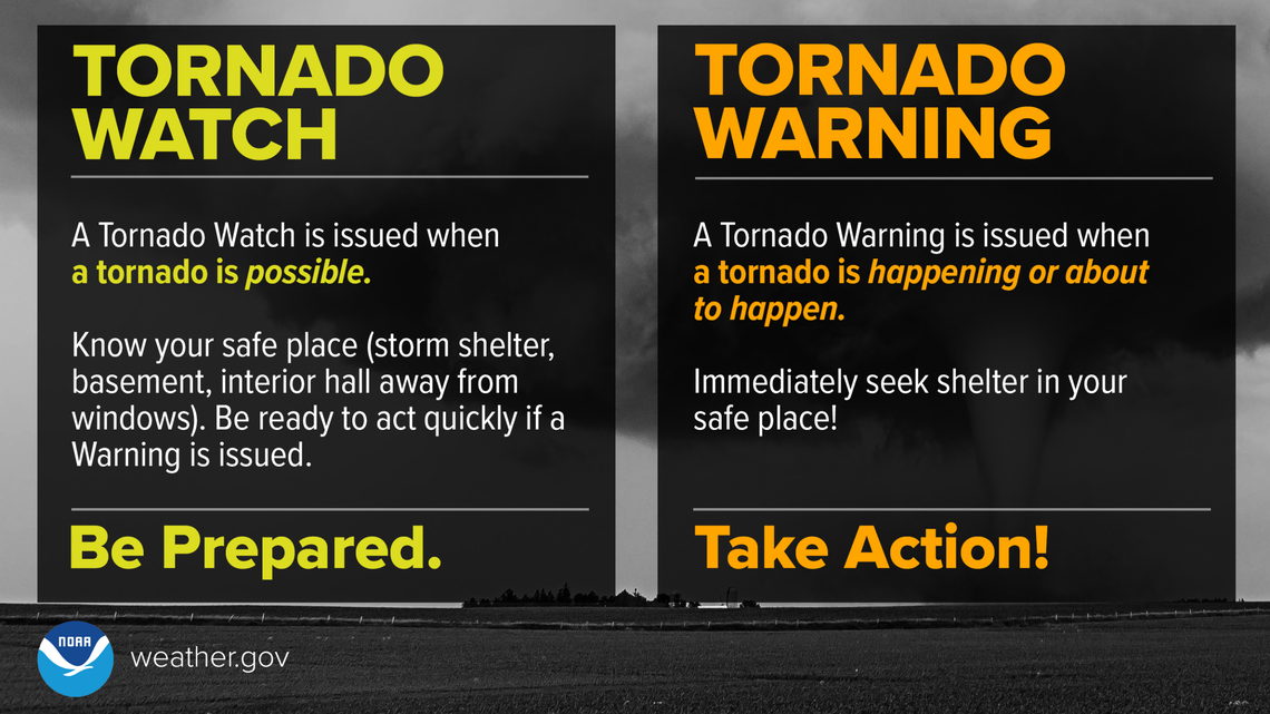
The National Weather Service’s Storm Prediction Center (SPC) is warning of a multi-day tornado threat for New Jersey and nearby areas that will persist for the next few days as a severe weather event remains anchored over portions of the Mid Atlantic. This region has been hit hard by tornadoes lately, with a a recent severe weather day producing 6 tornadoes there.
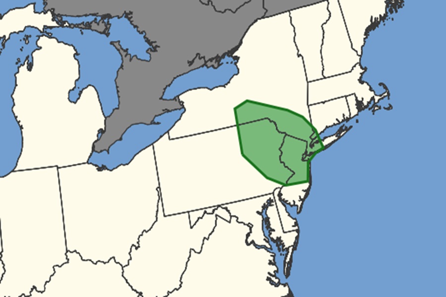
Today, the SPC says the greatest threat of tornadic storms is over central and northern New Jersey, eastern Pennsylvania, and southeastern New York; both New York City and Philadelphia metro areas are included in this threat zone.
On Wednesday, the threat of tornadoes will shift west into Pennsylvania and Ohio. On Thursday, the threat shifts south to Delaware, Maryland, and Virginia.
Generally, severe thunderstorms are possible across portions of the eastern
Great Lakes to the Mid-Atlantic through the day Wednesday. Severe gusts are the main threat, though some hail or a tornado or two could occur.
According to the SPC, an upper ridge will stall over the Tennessee Valley, with a low-amplitude mid-level trough poised to traverse the ridge and overspread portions of the Northeast tomorrow on Wednesday. Meanwhile, an upper trough will amplify across the Interior West. At the surface, a trough will become established across the Hudson Valley area, promoting enough lift for ascent amid a moist and unstable low-level airmass, supporting strong to severe thunderstorm development.
A complex severe weather setup will exist across the eastern Great Lakes to the Mid-Atlantic through Thursday. Atmospheric conditions will foster the potential for supercells and bowing segments accompanied by a severe gust threat, along with isolated instances of large hail and perhaps a tornado or two.
“The primary concern with this meteorological setup will be the timing and placement of thunderstorm clusters, which will ultimately determine the severity and coverage of convective hazards,” the SPC said today in their latest Convective Outlook